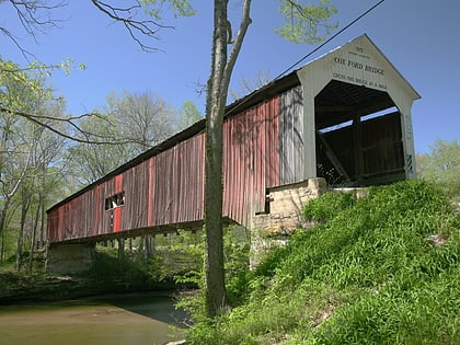
Lusk Home, Turkey Run State Park
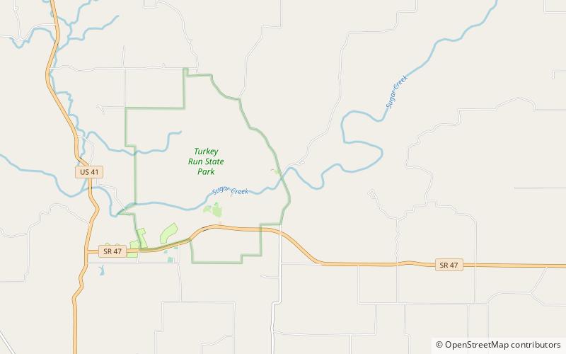
Map
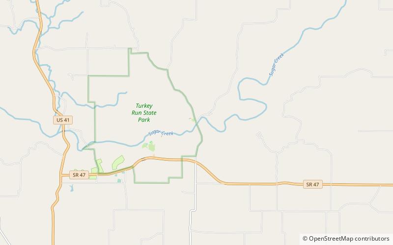
Map

Facts and practical information
The Lusk Home and Mill Site was the first development in present Turkey Run State Park, Indiana's second oldest state park. ()
Coordinates: 39°53'29"N, 87°11'8"W
Address
Turkey Run State Park
ContactAdd
Social media
Add
Day trips
Lusk Home – popular in the area (distance from the attraction)
Nearby attractions include: Cox Ford Covered Bridge, Narrows Covered Bridge, Wilkins Mill Covered Bridge, Lusk Covered Bridge.
Frequently Asked Questions (FAQ)
Which popular attractions are close to Lusk Home?
Nearby attractions include Lusk Covered Bridge, Turkey Run State Park (1 min walk), Narrows Covered Bridge, Turkey Run State Park (1 min walk).

