JH Russell Covered Bridge, Turkey Run State Park

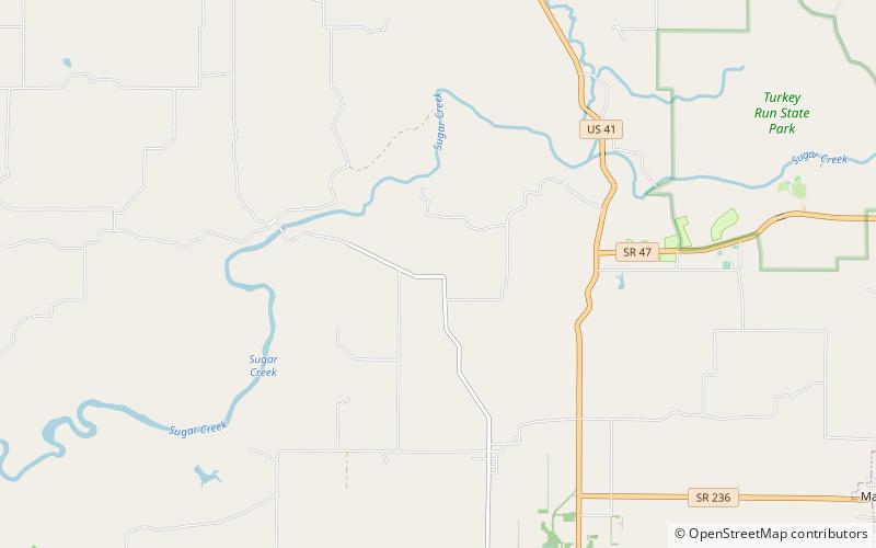
Map
Facts and practical information
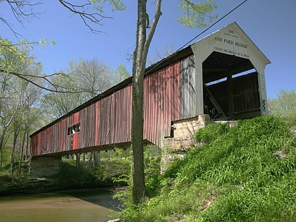
The J.H. Russell Covered Bridge was north of Annapolis, Indiana. The single-span Modified Queen Truss covered bridge structure was built by Pearly Weaver and George Weaver in 1897 and destroyed by deterioration. It was one of five bridges in Parke County to be on private land. The others were the State Sanitorium Covered Bridge, Lusk Covered Bridge 1840, Lusk Covered Bridge 1847, and the Clinton Toll Bridge. Also it was one of two Queen Truss tupe covered bridges, the other being the Turkey Run Covered Bridge ()
Length: 50 ftWidth: 12 ftHeight: 12 ftCoordinates: 39°52'29"N, 87°15'28"W
Day trips
JH Russell Covered Bridge – popular in the area (distance from the attraction)
Nearby attractions include: Cox Ford Covered Bridge, Narrows Covered Bridge, Wilkins Mill Covered Bridge, Lusk Covered Bridge.


