Edward E. Willey Bridge, Richmond
Map
Facts and practical information
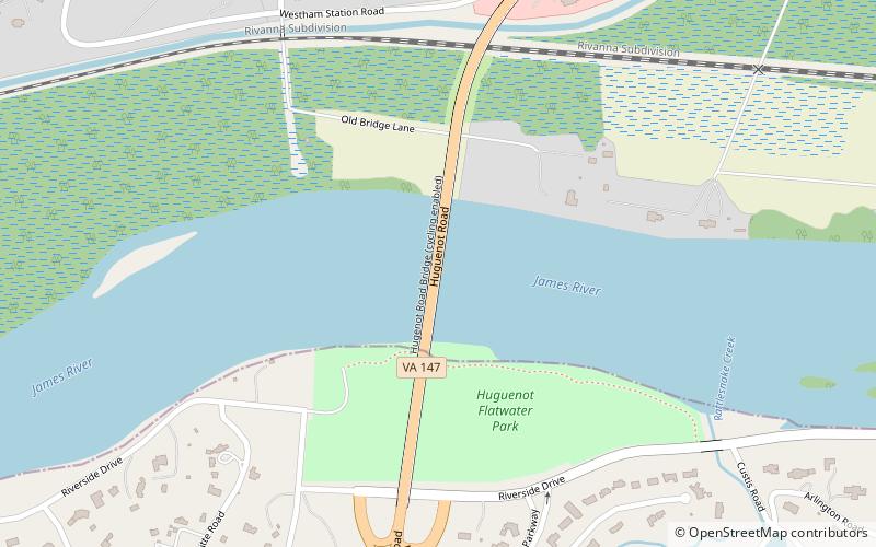
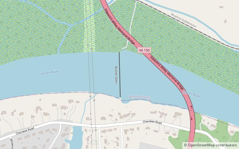
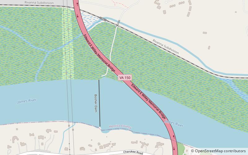
Edward E. Willey Bridge is a highway bridge which crosses the upper James River in the western portion of Henrico County, Virginia. It carries Chippenham Parkway between Parham Road in Henrico and the southwestern portion of the independent city of Richmond. It was named in honor of Edward E. Willey who was a Pharmacist and State Senator in the Virginia General Assembly from 1952 to 1983. He died in 1986. ()
Completed: 1989 (37 years ago)Coordinates: 37°33'41"N, 77°34'26"W
Address
TuckahoeRichmond
ContactAdd
Social media
Add
Day trips