The Plunge, Richmond
Map
Gallery
Facts and practical information
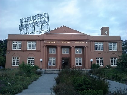
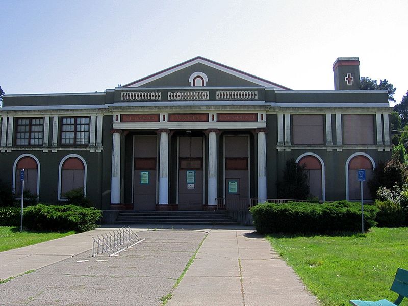
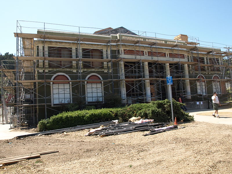
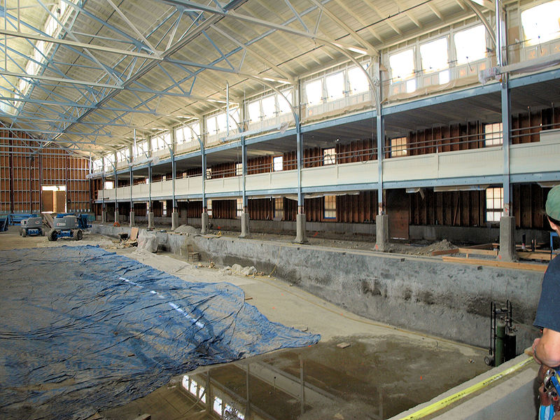
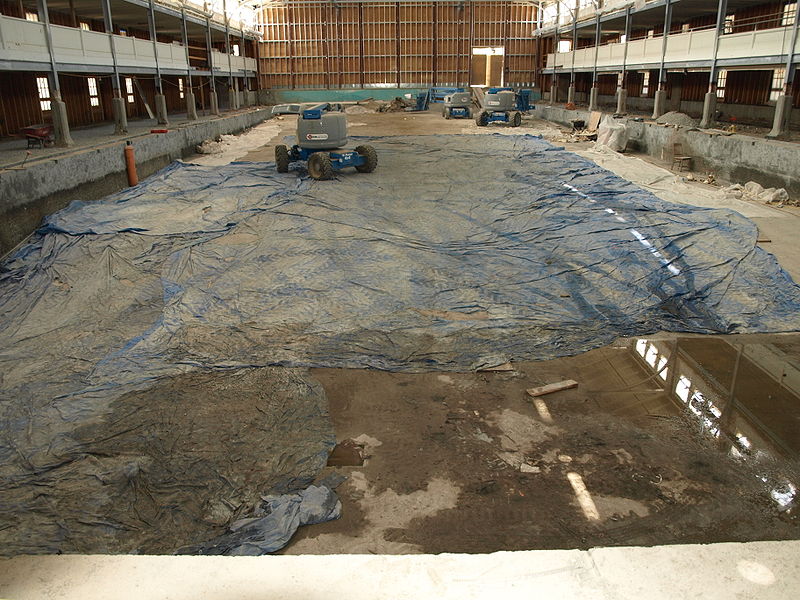
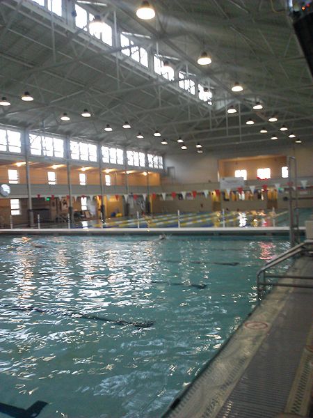
The Richmond Municipal Natatorium, commonly known as The Plunge or The Richmond Plunge, is a historic swim center in the Point Richmond neighborhood of Richmond, California. It was closed in August 2001 for seismic retrofitting and reopened in August 2010. It now is back to a regular schedule. ()
Completed: 1926 (100 years ago)Coordinates: 37°55'27"N, 122°23'2"W
Day trips
The Plunge – popular in the area (distance from the attraction)
Nearby attractions include: Brickyard Cove, Golden State Model Railroad Museum, Point Potrero Pond, Miller/Knox Lagoon.
Frequently Asked Questions (FAQ)
Which popular attractions are close to The Plunge?
Nearby attractions include Point Richmond Historic District, Richmond (4 min walk), The Masquers Playhouse, Richmond (5 min walk), Point Richmond, Richmond (7 min walk), Keller Beach, Richmond (8 min walk).
How to get to The Plunge by public transport?
The nearest stations to The Plunge:
Bus
Bus
- South Garrard Boulevard & West Cutting Boulevard • Lines: 72M (3 min walk)
- Tewksbury Turnaround (10 min walk)
