Potrero Hills, Richmond
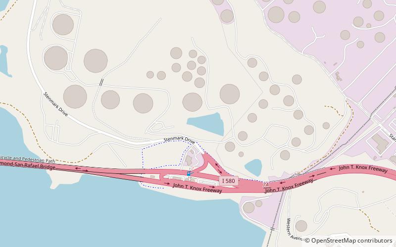
Map
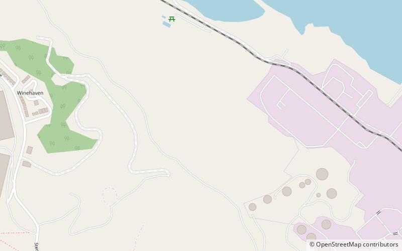
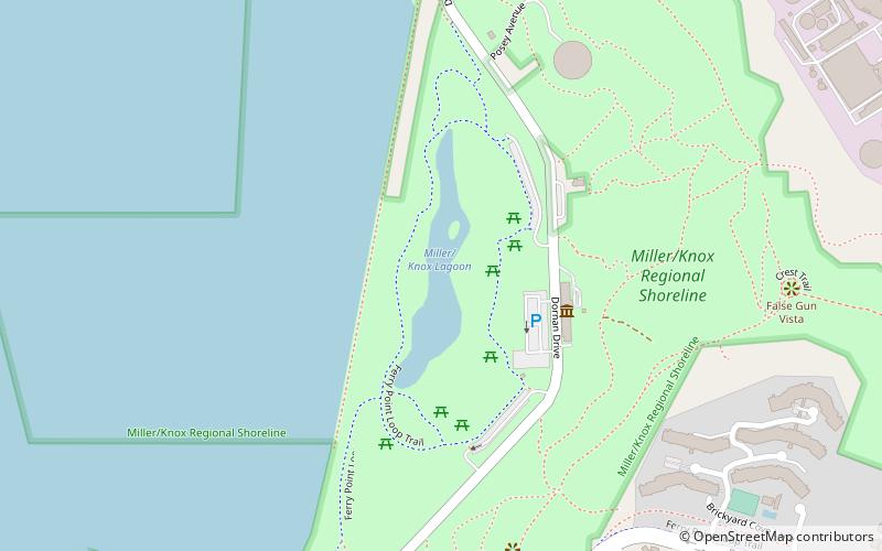
Map

Facts and practical information
The Potrero Hills also known as the Potrero Ridge and Point Molate Hills is a chaparral and forested escarpment that crests northwest to southeast along the San Pablo Peninsula in Richmond, California. ()
Maximum elevation: 494 ftCoordinates: 37°57'5"N, 122°24'32"W
Address
Richmond
ContactAdd
Social media
Add
Day trips
Potrero Hills – popular in the area (distance from the attraction)
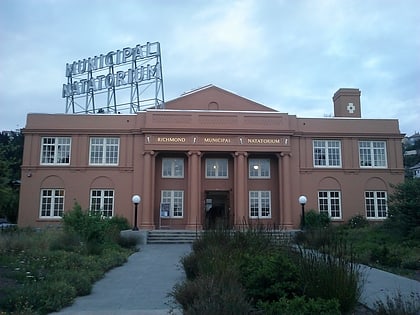
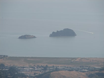
Nearby attractions include: The Plunge, East Brother Island Light, Benoit-Casper Brewing, Brickyard Cove.

