Junction Peak, Sequoia and Kings Canyon National Parks
Map

Map

Facts and practical information
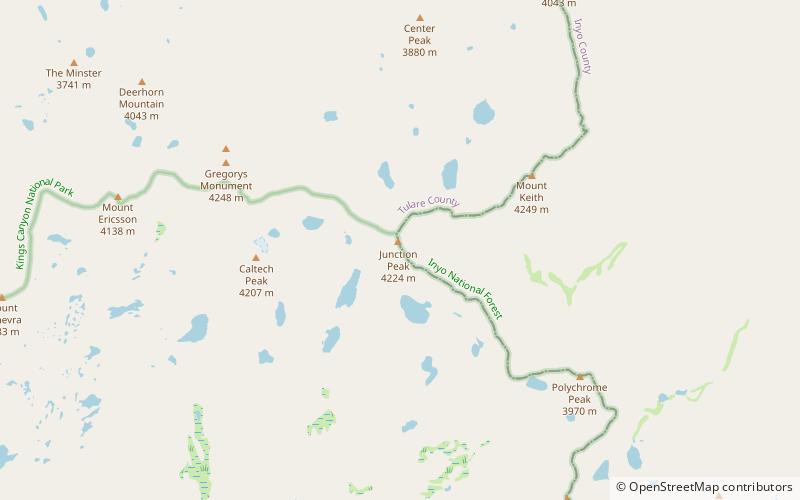
Junction Peak is a thirteener in the Sierra Nevada. Joseph Nisbet LeConte chose this name in 1896, noting that it marks the point where the Sierra Crest crosses the water divide of the Kern and Kings rivers. Today it also is the boundary between Inyo and Tulare counties, and of Kings Canyon National Park, Sequoia National Park and the John Muir Wilderness. ()
Alternative names: First ascent: 1899Elevation: 13894 ftProminence: 765 ftCoordinates: 36°41'24"N, 118°21'58"W
Address
Sequoia and Kings Canyon National Parks
ContactAdd
Social media
Add
Day trips
Junction Peak – popular in the area (distance from the attraction)
Nearby attractions include: Pacific Crest Trail, Footpath, Mount Bago, East Vidette.


