Cayuga Park, San Francisco

Gallery (1)
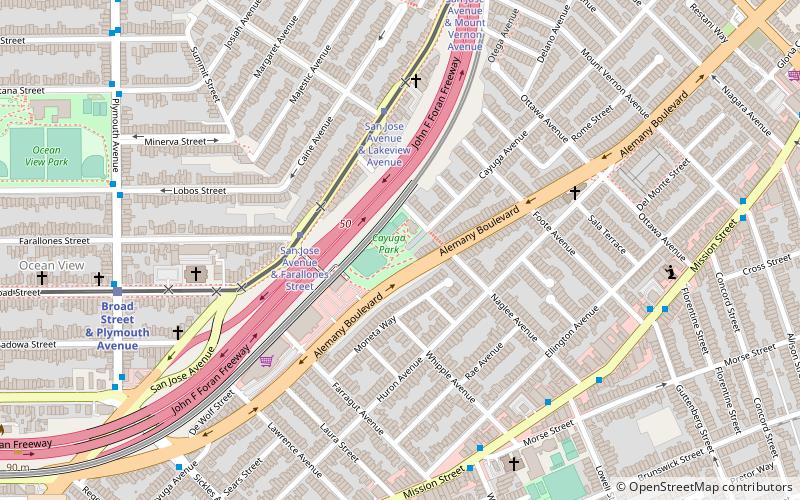
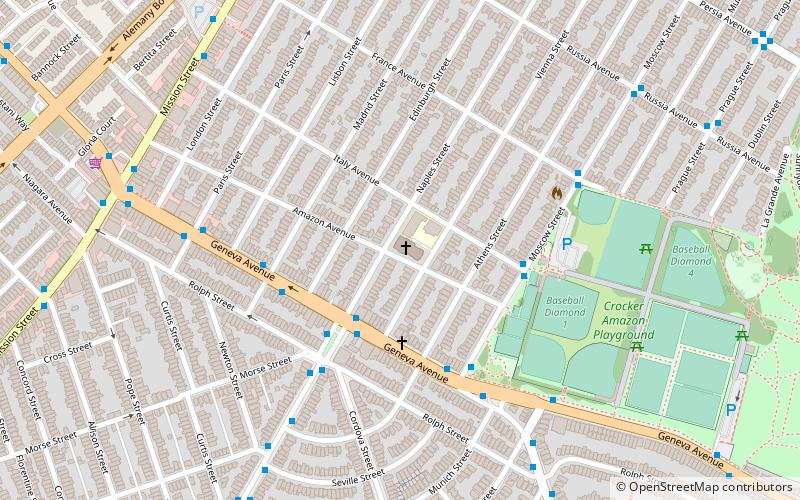
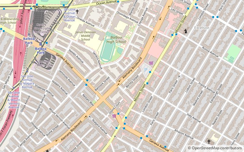
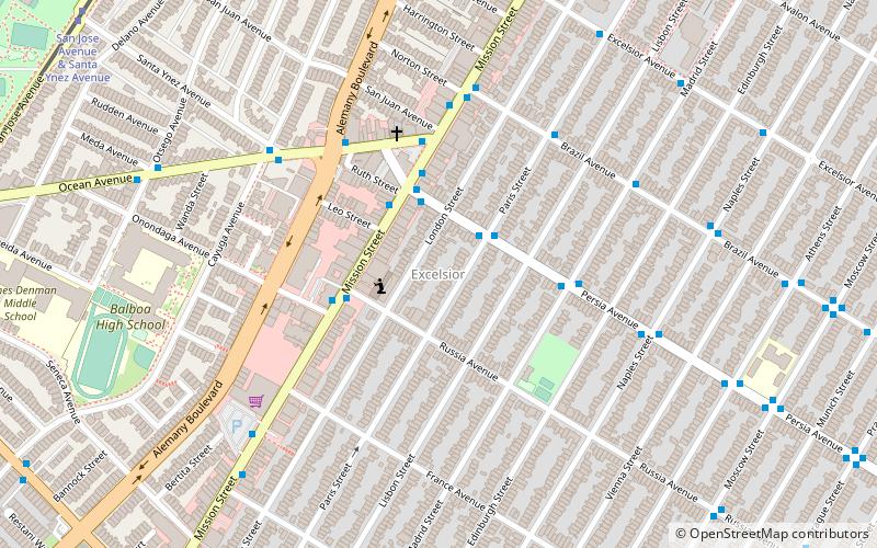
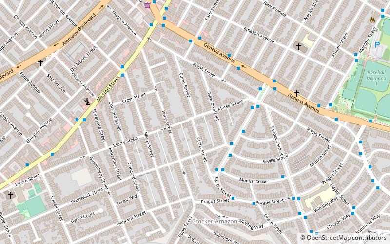
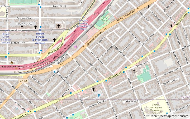
Map
Map
Facts and practical information
Cayuga Park is a neighborhood park and playground in San Francisco, at the edge of the Cayuga Terrace neighborhood. Its history, location and aesthetics make it unique among the parks of San Francisco. ()
Elevation: 223 ft a.s.l.Coordinates: 37°42'50"N, 122°26'60"W
Address
301 Naglee AveSouthwest San Francisco (Cayuga)San Francisco 94112
Contact
(415) 227-4714
Social media
Add
Getting there by public transportation
Public transportation stops near this location
- Metro
- Bus
- Trolleybus
- Light rail
- Train
 Metro
Metro
- Calculate routeSan Jose Avenue & Farallones Street 4 min walk
- Calculate routeSan Jose Avenue & Lakeview Avenue 5 min walk
- Calculate routeSan Jose Avenue & Mount Vernon Avenue 9 min walk
- Calculate routeBroad Street & Plymouth Avenue 9 min walk
- Calculate routeMission Street & Whittier Street 7 min walk
- Calculate routeMission Street & Lowell Street 7 min walk
- Calculate routePlymouth Avenue & Broad Street 9 min walk
- Calculate routeBroad Street & Plymouth Avenue 9 min walk
- Calculate routeRandolph Street & Arch Street 24 min walk
- Calculate routeBalboa Park 15 min walk
- Calculate routeDaly City 30 min walk
Maps Muni Metro
Muni MetroDay trips
Cayuga Park – popular in the area (distance from the attraction)
Nearby attractions include: Church of the Epiphany in San Francisco, City College of San Francisco, Alemany Boulevard, San Francisco Public Library - Ingleside Branch.


Frequently Asked Questions (FAQ)
Which popular attractions are close to Cayuga Park?
Nearby attractions include Outer Mission, San Francisco (6 min walk), Crocker-Amazon, San Francisco (15 min walk), Alemany Boulevard, San Francisco (16 min walk), San Francisco Public Library - Ingleside Branch, San Francisco (20 min walk).
How to get to Cayuga Park by public transport?
The nearest stations to Cayuga Park:
Light rail
Trolleybus
Bus
Train
Metro
Light rail
- San Jose Avenue & Farallones Street (4 min walk)
- San Jose Avenue & Lakeview Avenue (5 min walk)
Trolleybus
- Mission Street & Whittier Street • Lines: 14 (7 min walk)
Bus
- Mission Street & Lowell Street • Lines: 14R (7 min walk)
- Plymouth Avenue & Broad Street • Lines: 54 (9 min walk)
Train
- Broad Street & Plymouth Avenue (9 min walk)
- Randolph Street & Arch Street (24 min walk)
Metro
- Balboa Park • Lines: Blue, Green, Red, Yellow (15 min walk)
- Daly City • Lines: Blue, Green, Red, Yellow (30 min walk)