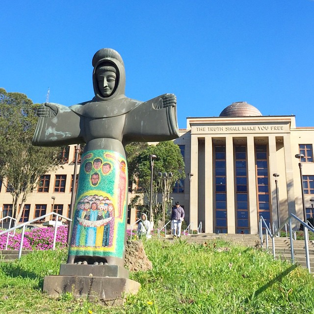
City College of San Francisco, San Francisco

Gallery (4)
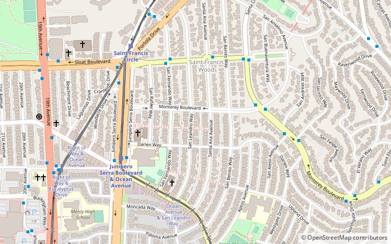
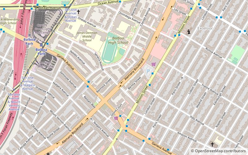
Map

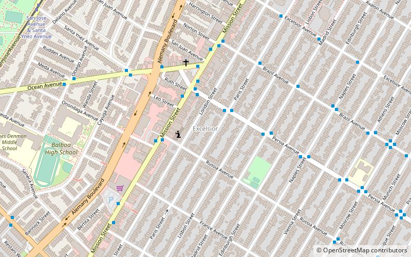
Map
Gallery
Facts and practical information
City College of San Francisco is a public community college in San Francisco, California. Founded as a junior college in 1935, the college plays an important local role, annually enrolling as many as one in nine San Francisco residents. CCSF is accredited by the Accrediting Commission for Community and Junior Colleges. ()
Coordinates: 37°43'33"N, 122°27'4"W
Getting there by public transportation
Public transportation stops near this location
- Metro
- Bus
- Trolleybus
- Light rail
- Train
 Metro
Metro
- Calculate routeCity College Ocean Campus 2 min walk
- Calculate routeCity College Terminal 5 min walk
- Calculate routeFrida Kahlo Way & Judson Avenue 5 min walk
- Calculate routeCity College Pedestrian Bridge 5 min walk
- Calculate routeOcean Avenue & Lee Avenue 7 min walk
- Calculate routeBalboa Park 9 min walk
- Calculate routeGlen Park 28 min walk
- Calculate routeMission Street & Italy Avenue 21 min walk
- Calculate routeBroad Street & Plymouth Avenue 24 min walk
- Calculate routeRandolph Street & Arch Street 31 min walk
Maps Muni Metro
Muni MetroDay trips


Frequently Asked Questions (FAQ)
Which popular attractions are close to City College of San Francisco?
Nearby attractions include San Francisco Public Library - Ingleside Branch, San Francisco (8 min walk), Balboa Park, San Francisco (9 min walk), Westwood Highlands, San Francisco (16 min walk), Alemany Boulevard, San Francisco (19 min walk).
How to get to City College of San Francisco by public transport?
The nearest stations to City College of San Francisco:
Bus
Light rail
Metro
Trolleybus
Train
Bus
- City College Ocean Campus • Lines: 43 (2 min walk)
- City College Terminal • Lines: 8 (5 min walk)
Light rail
- City College Pedestrian Bridge • Lines: K (5 min walk)
- Ocean Avenue & Lee Avenue • Lines: K (7 min walk)
Metro
- Balboa Park • Lines: Blue, Green, Red, Yellow (9 min walk)
- Glen Park • Lines: Blue, Green, Red, Yellow (28 min walk)
Trolleybus
- Mission Street & Italy Avenue • Lines: 14 (21 min walk)
Train
- Broad Street & Plymouth Avenue (24 min walk)
- Randolph Street & Arch Street (31 min walk)