Crocker-Amazon, San Francisco
Map
Facts and practical information
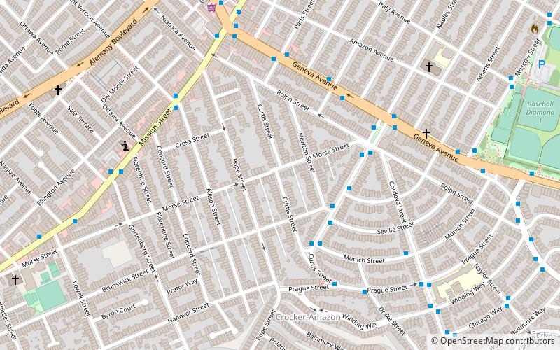
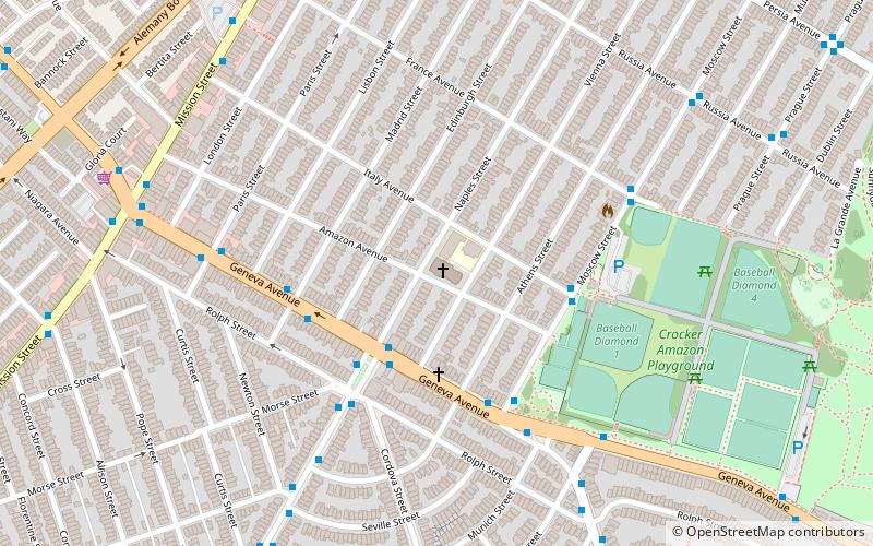
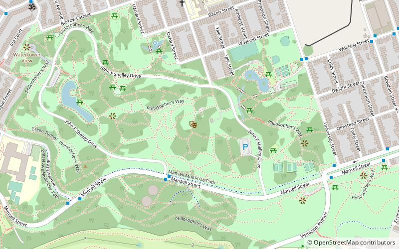
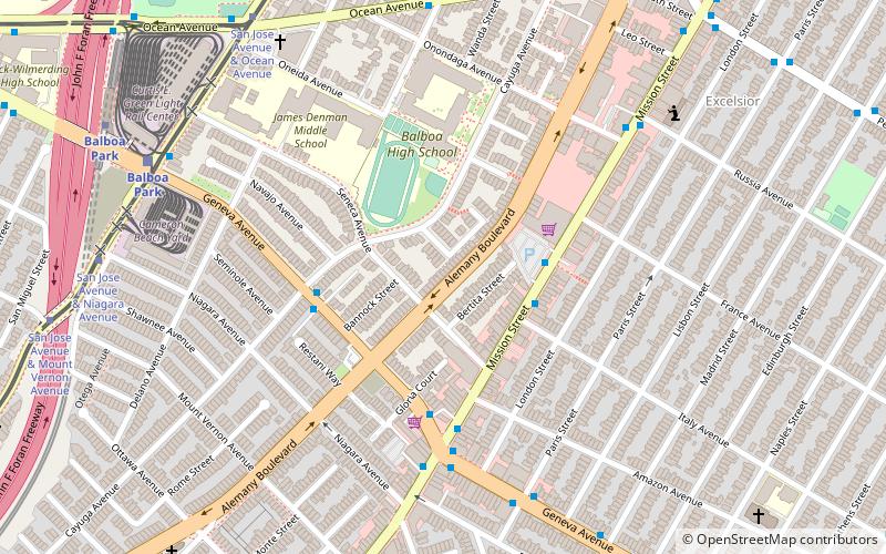
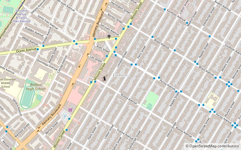
Crocker-Amazon is a neighborhood in San Francisco that borders the Excelsior District. Crocker-Amazon covers the area south of Mission Street and Geneva Avenue, extending toward suburban Daly City. The neighborhood is adjacent to Crocker-Amazon Park, named after the Charles Crocker land holdings that once made up the area, and Amazon Avenue in the Excelsior. The winding streets of the neighborhood straddle the border between San Francisco and Daly City and largely blend in with the adjacent Daly City neighborhoods of Crocker and Southern Hills. ()
Area: 0.57 mi²Coordinates: 37°42'46"N, 122°26'22"W
Address
Southwest San Francisco (Crocker Amazon)San Francisco
ContactAdd
Social media
Add
Getting there by public transportation
Public transportation stops near this location
- Metro
- Bus
- Trolleybus
- Light rail
- Train
 Metro
Metro
- Calculate routeNaples Street & Brunswick Street 3 min walk
- Calculate routeMission Street & Allison Street 6 min walk
- Calculate routeSan Jose Avenue & Mount Vernon Avenue 17 min walk
- Calculate routeSan Jose Avenue & Niagara Avenue 17 min walk
- Calculate routeSan Jose Avenue & Lakeview Avenue 17 min walk
- Calculate routeSan Jose Avenue & Geneva Avenue 18 min walk
- Calculate routeBalboa Park 20 min walk
- Calculate routeBroad Street & Plymouth Avenue 24 min walk
Maps Muni Metro
Muni MetroDay trips


Frequently Asked Questions (FAQ)
Which popular attractions are close to Crocker-Amazon?
Nearby attractions include Church of the Epiphany in San Francisco, San Francisco (8 min walk), Alemany Boulevard, San Francisco (12 min walk), Cayuga Park, San Francisco (15 min walk), Bernal Heights, San Francisco (15 min walk).
How to get to Crocker-Amazon by public transport?
The nearest stations to Crocker-Amazon:
Bus
Trolleybus
Light rail
Metro
Train
Bus
- Naples Street & Brunswick Street • Lines: 43 (3 min walk)
Trolleybus
- Mission Street & Allison Street • Lines: 14 (6 min walk)
Light rail
- San Jose Avenue & Mount Vernon Avenue (17 min walk)
- San Jose Avenue & Niagara Avenue (17 min walk)
Metro
- Balboa Park • Lines: Blue, Green, Red, Yellow (20 min walk)
Train
- Broad Street & Plymouth Avenue (24 min walk)