Lowline Park, New York City
Map
Facts and practical information
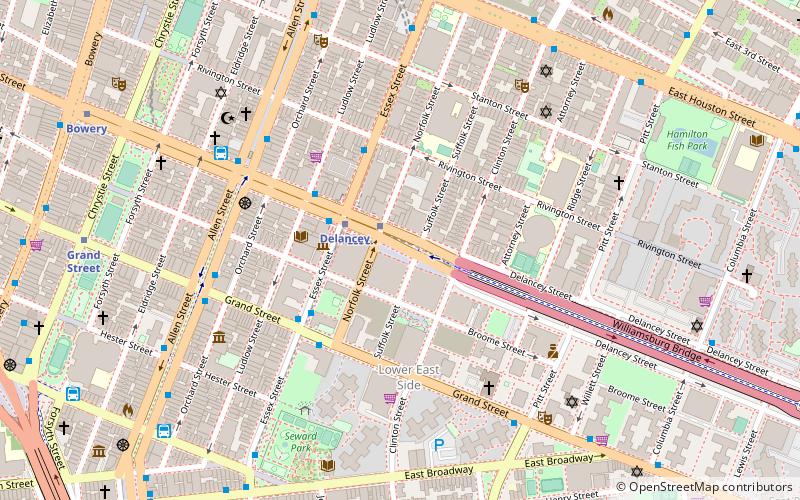
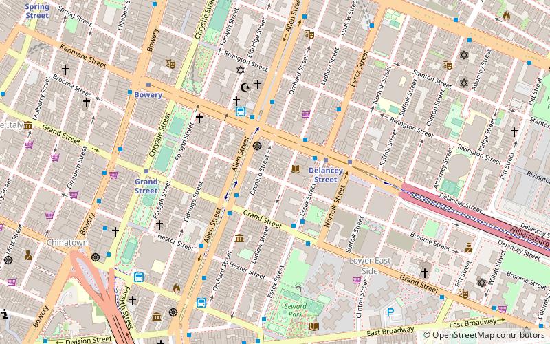
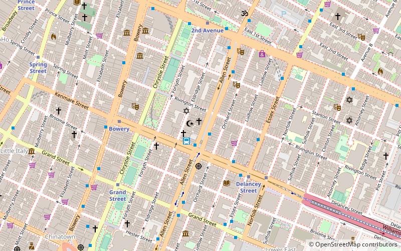
The Lowline, formerly known as the Delancey Underground, is a stalled construction project that would have become the world's first underground park in the New York City borough of Manhattan. It is located under the eastbound roadway of Delancey Street on the Lower East Side, in the former Williamsburg Bridge Trolley Terminal adjacent to the Essex Street station and to the Essex Crossing complex. Construction of the Lowline began in 2019, but was put on hold in 2020 due to lack of funds. ()
Getting there by public transportation
Public transportation stops near this location
- Metro
- Bus
- Ferry
 Metro
Metro
- Calculate routeEssex Street 1 min walk
- Calculate routeDelancey Street 2 min walk
- Calculate routeAllen Street & Grand Street 6 min walk
- Calculate routeD3 Busline 6 min walk
- Calculate routetiger bus 9 min walk
- Calculate routePier 11/Wall Street Terminal 37 min walk
Maps SubwayMaps
 Manhattan Buses
SubwayMapsManhattan BusesDay trips
Lowline Park – popular in the area (distance from the attraction)
Nearby attractions include: Mercury Lounge, Pianos, Lower East Side Tenement Museum, The Clemente.


Frequently Asked Questions (FAQ)
Which popular attractions are close to Lowline Park?
Nearby attractions include Beth Hamedrash Hagodol, New York City (3 min walk), The Clemente, New York City (3 min walk), Rivington Street, New York City (3 min walk), Lower East Side, New York City (4 min walk).
How to get to Lowline Park by public transport?
The nearest stations to Lowline Park:
Metro
Bus
Ferry
Metro
- Essex Street • Lines: J, M, Z (1 min walk)
- Delancey Street • Lines: <F>, F (2 min walk)
Bus
- Allen Street & Grand Street • Lines: M15, M15-Sbs (6 min walk)
- D3 Busline (6 min walk)
Ferry
- Pier 11/Wall Street Terminal (37 min walk)