Woodland Park, Portage
Map

Map

Facts and practical information
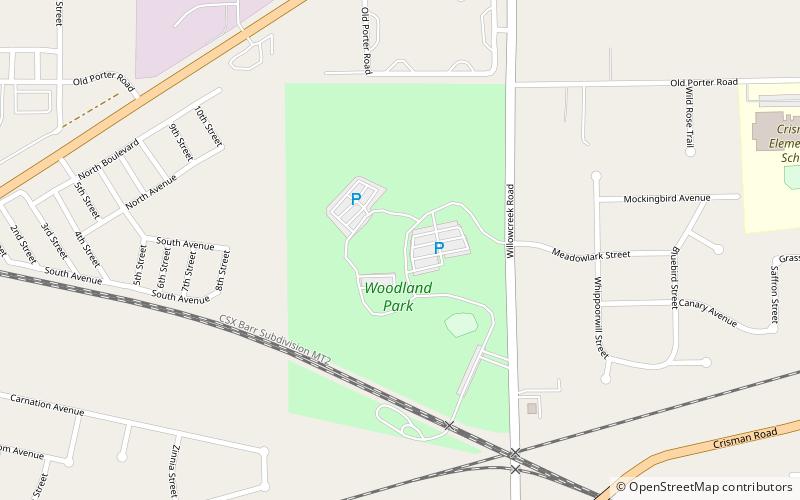
Woodland Park (address: 2100 Willowcreek Rd) is a place located in Portage (Indiana state) and belongs to the category of relax in park, park.
It is situated at an altitude of 630 feet, and its geographical coordinates are 41°35'29"N latitude and 87°11'9"W longitude.
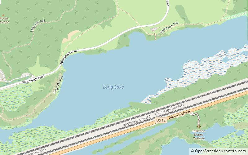
Among other places and attractions worth visiting in the area are: Long Lake, Indiana Dunes National Lakeshore (lake, 55 min walk), Ogden Dunes Beach (beach, 67 min walk), Lake Station (locality, 85 min walk).
Elevation: 630 ft a.s.l.Coordinates: 41°35'29"N, 87°11'9"W
Address
2100 Willowcreek RdPortage
ContactAdd
Social media
Add
Day trips
Woodland Park – popular in the area (distance from the attraction)
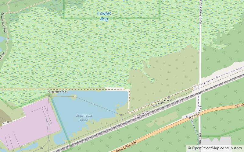
Nearby attractions include: Joseph Bailly Homestead, First Unitarian Church of Hobart, Calumet Trail, Cowles Bog.


