Kaw Point, Kansas City
Map

Gallery

Facts and practical information
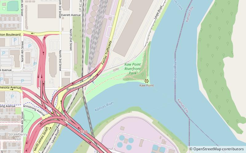
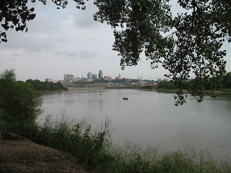
Kaw Point is the point where the Kansas River terminates at the Missouri River in the West Bottoms area of Kansas City, Kansas. It is also where the Missouri River ceases its southerly course and turns to flow generally east through the state of Missouri to the Mississippi River at St. Louis. ()
Elevation: 735 ft a.s.l.Coordinates: 39°6'58"N, 94°36'42"W
Address
1 River City DriveWest Kansas City (Fairfax)Kansas City 66101
Contact
+1 913-596-7077
Social media
Add
Day trips
Kaw Point – popular in the area (distance from the attraction)
Nearby attractions include: Cathedral of the Immaculate Conception, Airline History Museum, Buck O'Neil Bridge, Strawberry Hill Museum and Cultural Center.
Frequently Asked Questions (FAQ)
Which popular attractions are close to Kaw Point?
Nearby attractions include Intercity Viaduct, Kansas City (4 min walk), Union Pacific Bridge, Kansas City (5 min walk), Port of Kansas City, Kansas City (7 min walk), James Street Bridge, Kansas City (11 min walk).
How to get to Kaw Point by public transport?
The nearest stations to Kaw Point:
Bus
Bus
- 12th at Liberty • Lines: 9 (31 min walk)
- Wyoming at 12th • Lines: 9 (31 min walk)


