Marquam Bridge, Portland
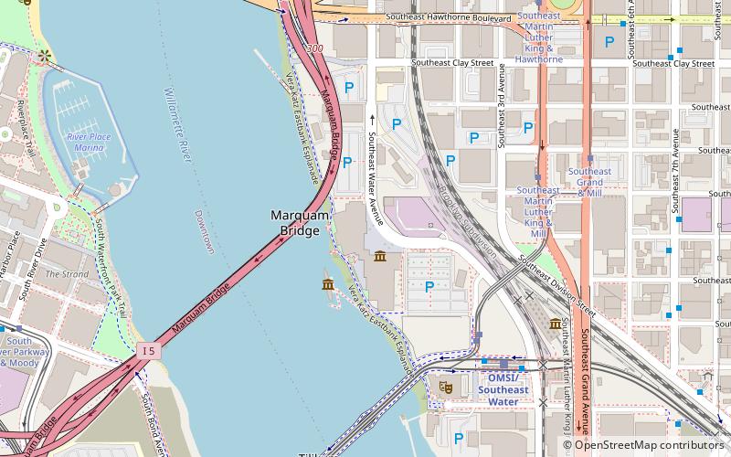
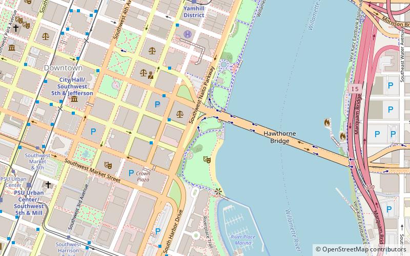
Map

Gallery

Facts and practical information
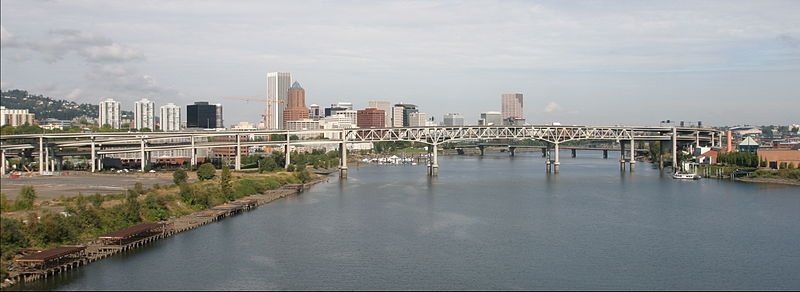
The Marquam Bridge is a double-deck, steel-truss cantilever bridge that carries Interstate 5 traffic across the Willamette River south of downtown Portland, Oregon. It is the busiest bridge in Oregon, carrying 140,500 vehicles a day as of 2016. The upper deck carries northbound traffic; the lower deck carries southbound traffic. ()
Opened: 1966 (60 years ago)Length: 1043 ftWidth: 57 ftCoordinates: 45°30'29"N, 122°40'8"W
Address
Interstate 5Portland 97201
Contact
+1 503-222-2223
Social media
Add
Day trips
Marquam Bridge – popular in the area (distance from the attraction)
Nearby attractions include: Oregon Museum of Science and Industry, Keller Fountain Park, Hawthorne Bridge bicycle counter, Salmon Street Springs.
Frequently Asked Questions (FAQ)
Which popular attractions are close to Marquam Bridge?
Nearby attractions include Poet's Beach, Portland (4 min walk), Oregon Museum of Science and Industry, Portland (4 min walk), USS Blueback, Portland (4 min walk), Tilikum Crossing, Portland (6 min walk).
How to get to Marquam Bridge by public transport?
The nearest stations to Marquam Bridge:
Tram
Bus
Light rail
Tram
- South River Parkway & Moody • Lines: A, B, Ns (7 min walk)
- Southeast Water/OMSI • Lines: A, B (8 min walk)
Bus
- South River Parkway & River Drive • Lines: 35, 36 (7 min walk)
- Southwest Harbor & River Parkway • Lines: 96 (9 min walk)
Light rail
- OMSI/Southeast Water • Lines: Orange (9 min walk)
- South Waterfront/South Moody • Lines: Orange (10 min walk)


