Springfield Park, New York City

Gallery (2)
Map
Map
Gallery
Facts and practical information
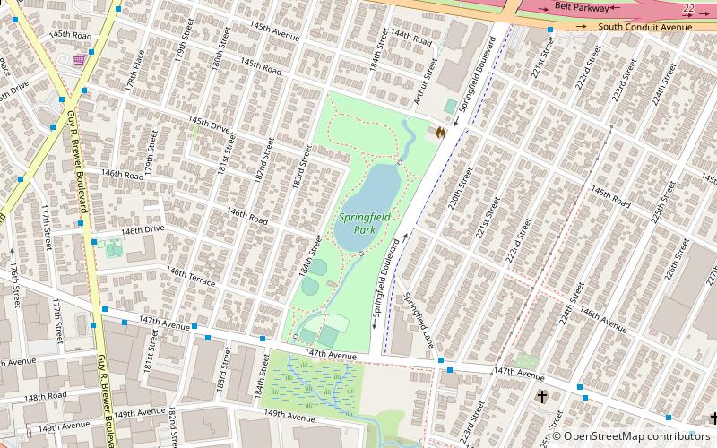
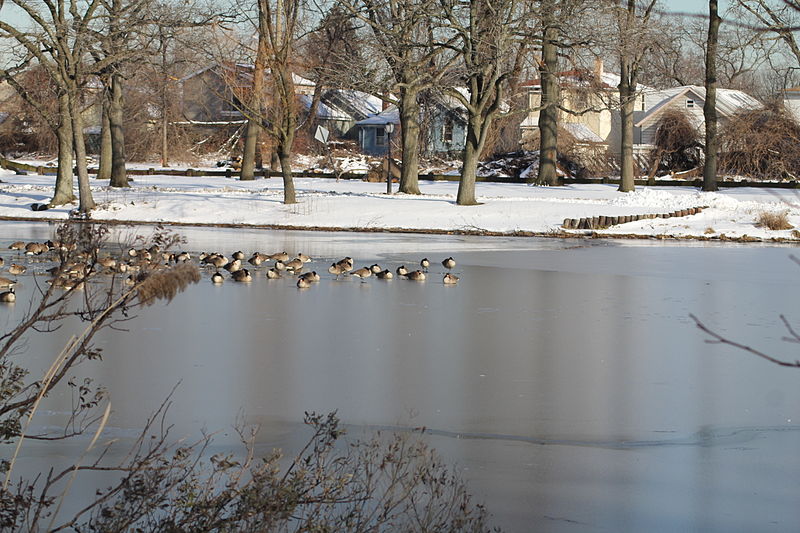
Springfield Park is a public park in Springfield Gardens, in southeast Queens, New York City. It consists of 23.54 acres, including the sizable Springfield Lake at its center. It is located on the west side of Springfield Boulevard between 145th Road and 147th Avenue, less than a mile north of JFK Airport. It is maintained by the New York City Department of Parks and Recreation. ()
Created: 1932Elevation: 7 ft a.s.l.Coordinates: 40°39'43"N, 73°45'42"W
Getting there by public transportation
Public transportation stops near this location
- Bus
- Light rail
- Train
 Bus
Bus
- Calculate routeFarmers Boulevard & 145th Drive 10 min walk
- Calculate routeFarmers Boulevard & 145th Road 11 min walk
- Calculate routeGuy R Brewer Boulevard & Farmers Boulevard 11 min walk
- Calculate routeMTA JFK Airport Terminal 5 Bus 36 min walk
- Calculate routeLaurelton 18 min walk
- Calculate routeLocust Manor 24 min walk
- Calculate routeTerminal 5 36 min walk
Maps SubwayMaps
 Manhattan Buses
SubwayMapsManhattan BusesDay trips


Frequently Asked Questions (FAQ)
How to get to Springfield Park by public transport?
The nearest stations to Springfield Park:
Bus
Train
Light rail
Bus
- Farmers Boulevard & 145th Drive • Lines: Q111, Q3 (10 min walk)
- Farmers Boulevard & 145th Road • Lines: Q3 (11 min walk)
Train
- Laurelton (18 min walk)
- Locust Manor (24 min walk)
Light rail
- Terminal 5 • Lines: Jfk (36 min walk)