Roy Wilkins Park, New York City

Gallery (7)
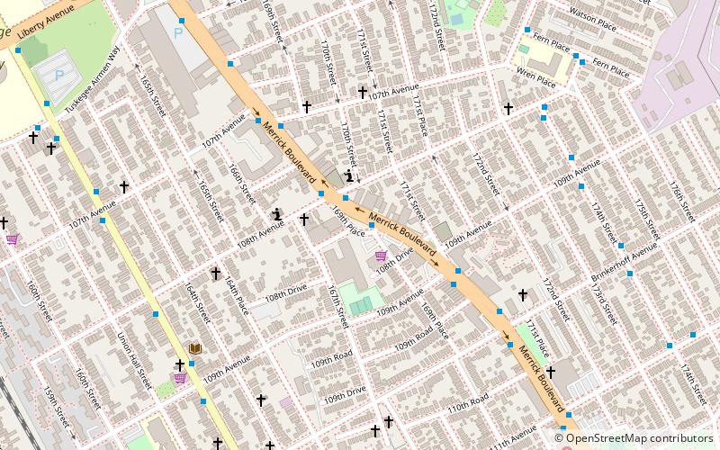
Map

Map

Gallery
Facts and practical information
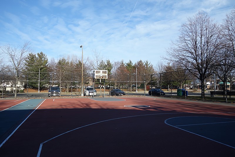
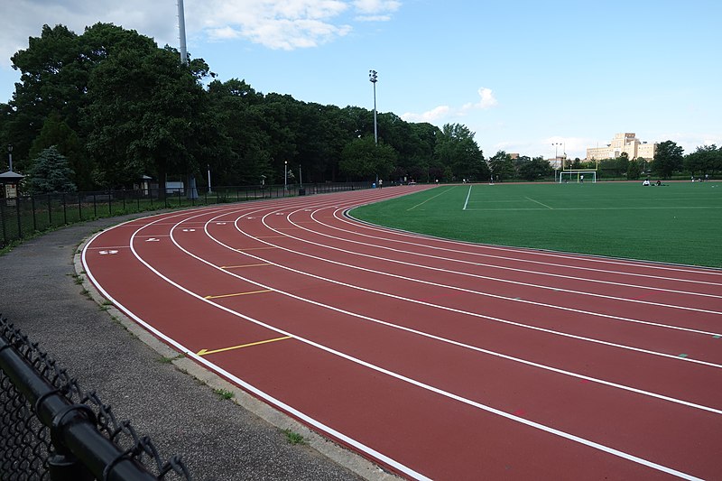
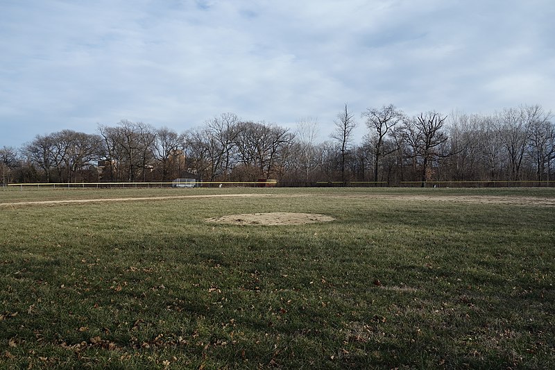
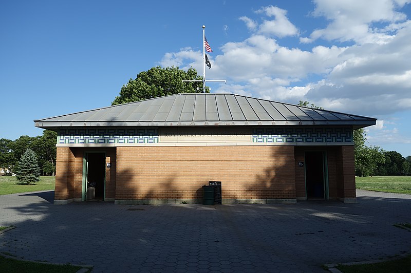
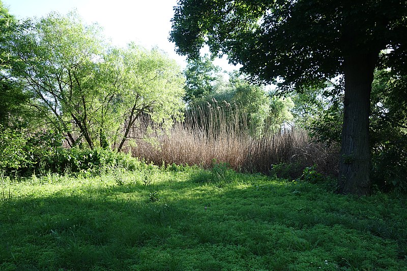
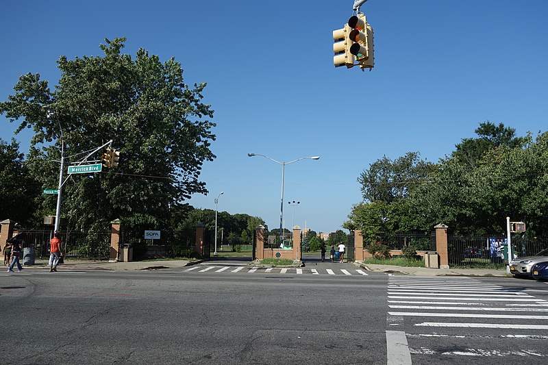
Roy Wilkins Park, originally known as Southern Queens Park, is a 54-acre park in the St. Albans neighborhood of southeastern Queens in New York City. It is located on an irregular plot of land bounded by 115th and 116th Avenues to the north, 175th Street to the west, Merrick Boulevard to the southwest, Baisley Boulevard to the southeast, and the St. Albans Community Living Center to the east. Roy Wilkins Park contains the Roy Wilkins Recreation Center, a community center with an indoor swimming pool. It also includes various outdoor sporting facilities, a playground, and an artificial pond. ()
Elevation: 23 ft a.s.l.Coordinates: 40°41'13"N, 73°46'22"W
Address
Merrick BoulevardSoutheastern Queens (St. Albans)New York City
ContactAdd
Social media
Add
Getting there by public transportation
Public transportation stops near this location
- Bus
- Train
 Bus
Bus
- Calculate routeMerrick Boulevard & Foch Boulevard 3 min walk
- Calculate routeSt. Albans 13 min walk
- Calculate routeLocust Manor 24 min walk
Maps SubwayMaps
 Manhattan Buses
SubwayMapsManhattan BusesDay trips


Frequently Asked Questions (FAQ)
How to get to Roy Wilkins Park by public transport?
The nearest stations to Roy Wilkins Park:
Bus
Train
Bus
- Merrick Boulevard & Foch Boulevard • Lines: n4 (3 min walk)
Train
- St. Albans (13 min walk)
- Locust Manor (24 min walk)