Foch Sitting Area, New York City
Map
Facts and practical information
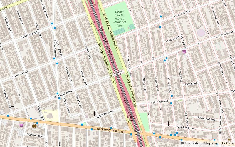
Foch Sitting Area is a 0.051-acre green public space in the South Jamaica neighborhood of Queens, New York, at the southeast corner of Foch Boulevard and the northbound service road of the Van Wyck Expressway. Like the adjacent Foch Boulevard, it is named after Ferdinand Foch, Marshal of France in World War I. The road, running between South Ozone Park and South Jamaica, was named following its completion in 1919. ()
Elevation: 23 ft a.s.l.Coordinates: 40°40'40"N, 73°48'11"W
Address
Southeastern Queens (South Jamaica)New York City
ContactAdd
Social media
Add
Getting there by public transportation
Public transportation stops near this location
- Metro
- Bus
- Light rail
 Metro
Metro
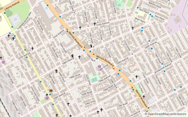
- Calculate routeLiberty Avenue & Inwood Street 29 min walk
- Calculate route101st Avenue & Remington Street 31 min walk
- Calculate routeOzone Park–Lefferts Boulevard 33 min walk
- Calculate routeLefferts Boulevard 40 min walk
Maps SubwayMaps
 Manhattan Buses
SubwayMapsManhattan BusesDay trips


Frequently Asked Questions (FAQ)
How to get to Foch Sitting Area by public transport?
The nearest stations to Foch Sitting Area:
Bus
Metro
Light rail
Bus
- Liberty Avenue & Inwood Street • Lines: Q112, Q9 (29 min walk)
- 101st Avenue & Remington Street • Lines: Q8 (31 min walk)
Metro
- Ozone Park–Lefferts Boulevard • Lines: A (33 min walk)
Light rail
- Lefferts Boulevard • Lines: Jfk (40 min walk)