Bulls Ferry, Jersey City
Map

Map

Facts and practical information
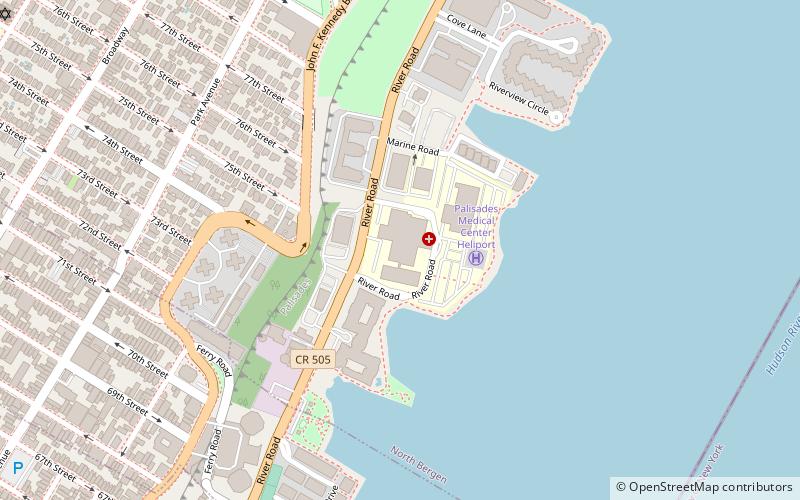
Bulls Ferry is an area along the Hudson River, just north of Weehawken Port Imperial in the towns of West New York, Guttenberg and North Bergen in New Jersey. It takes its name from a pre-Revolutionary settlement belonging to the Bull family, who operated a row-and-sail ferry to the burgeoning city of New York across the river. ()
Coordinates: 40°47'38"N, 73°59'47"W
Address
BergenwoodJersey City
ContactAdd
Social media
Add
Day trips
Bulls Ferry – popular in the area (distance from the attraction)
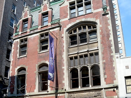
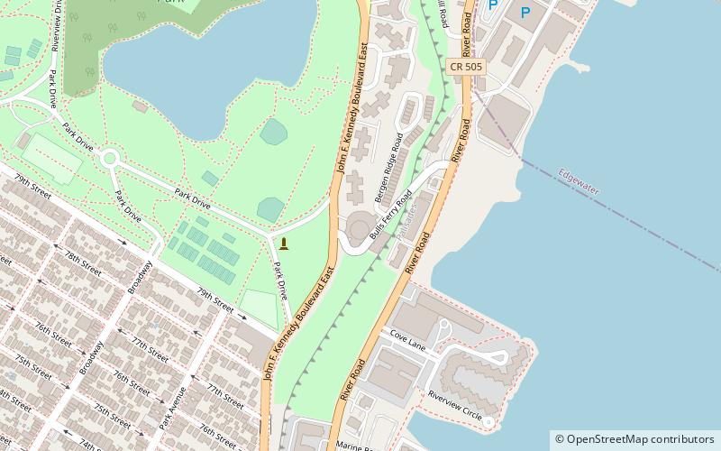
Nearby attractions include: Manhattan Waterfront Greenway, New York Central Railroad 69th Street Transfer Bridge, All Angels' Church, Hudson County Park System.
Frequently Asked Questions (FAQ)
Which popular attractions are close to Bulls Ferry?
Nearby attractions include Galaxy Towers, West New York (8 min walk), Stonehenge Building, North Bergen (11 min walk), Hudson County Park System, North Bergen (11 min walk), Woodcliff, North Bergen (13 min walk).
How to get to Bulls Ferry by public transport?
The nearest stations to Bulls Ferry:
Bus
Metro
Bus
- 79th St / Riverside Drive • Lines: M79 Sbs (25 min walk)
- Broadway & West 82nd Street • Lines: M104 (28 min walk)
Metro
- 79th Street • Lines: 1, 2 (29 min walk)
- 86th Street • Lines: 1, 2 (29 min walk)


