Bloody Canyon, Inyo National Forest
#22 among attractions in Inyo National Forest

Facts and practical information
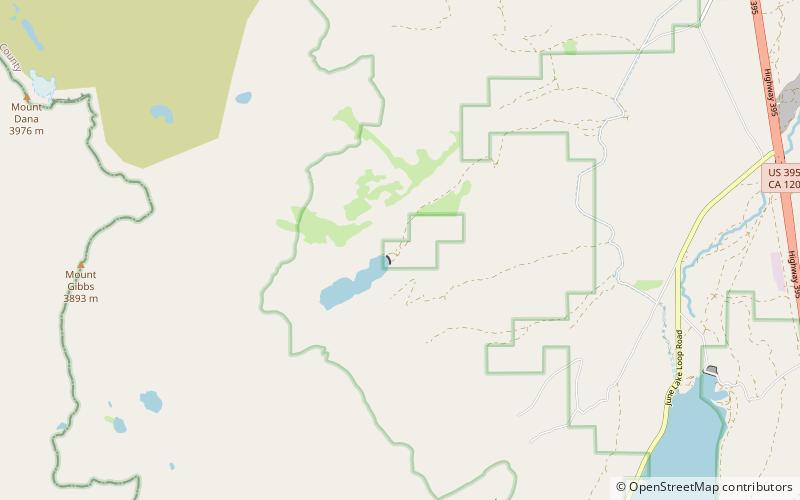
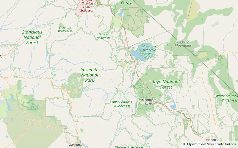
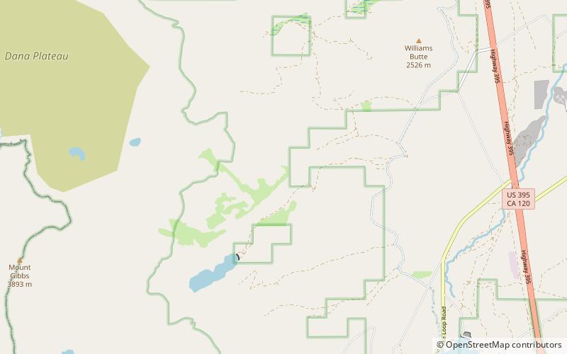
Bloody Canyon is a valley in Mono County, California, in the United States. ()
Inyo National Forest United States
Bloody Canyon – popular in the area (distance from the attraction)
Nearby attractions include: Tioga Lake, Mount Dana, Tioga Pass Entrance Station, Mono Basin National Scenic Area.
 Nature, Natural attraction, Lake
Tioga Lake, Yosemite National Park
156 min walk • Tioga Lake is a small glacial lake in the Inyo National Forest of Mono County, California, about two miles north of the Tioga Pass entrance to Yosemite National Park. The lake bed is alongside State Route 120 in the Sierra Nevada of California.
 Nature, Natural attraction, Mountain
Mount Dana, Ansel Adams Wilderness
97 min walk • Mount Dana is a mountain in the U.S. state of California. Its summit marks the eastern boundary of Yosemite National Park and the western boundary of the Ansel Adams Wilderness.
 Scenic drives, Outdoor activities, View point
Tioga Pass Entrance Station, Yosemite National Park
151 min walk • The Tioga Pass Entrance Station is the primary entrance for travelers entering Yosemite National Park from the east on the Tioga Pass Road. Open only during the summer months, the entrance station consists of two historical buildings, a ranger station and a comfort station, built in 1931 and 1934 respectively.
 Museum, Natural history museum
Mono Basin National Scenic Area, Inyo National Forest
185 min walk • The Mono Basin National Forest Scenic Area is a protected area in Eastern California that surrounds Mono Lake and the northern half of the Mono Craters volcanic field.
 Nature, Natural attraction, Mountain
Mount Gibbs, Ansel Adams Wilderness
77 min walk • Mount Gibbs is located in the Sierra Nevada of the U.S. state of California, 2.6 miles south of Mount Dana. The mountain was named in honor of Oliver Gibbs, a professor at Harvard University and friend of Josiah Whitney.
 Town
TownLee Vining
147 min walk • Lee Vining is a census-designated place in Mono County, California, United States. It is located 21 miles south-southeast of Bridgeport, at an elevation of 6781 feet. Lee Vining is located on the southwest shore of Mono Lake.
 Nature, Natural attraction, Mountain
Kuna Peak, Ansel Adams Wilderness
137 min walk • Kuna Peak is a summit on the boundary between Mono and Tuolumne counties, in the United States, is the highest point on Kuna Crest.
 Natural attraction, Nature, Lake
Bingaman Lake, Yosemite National Park
137 min walk • Bingaman Lake is a lake in Tuolumne County, California, in the United States. Bingaman Lake was named for John W. Bingaman, a park ranger who stocked the lake with fish in exchange for the naming rights. The lake is below Kuna Crest and Kuna Peak.
 Nature, Natural attraction, Mountain
Koip Peak, Ansel Adams Wilderness
132 min walk • Koip Peak is a 12,968-foot-elevation summit in Mono County, California, in the United States. It is located in the Ansel Adams Wilderness, on land managed by Inyo National Forest.
 California's highest vehicle crossing
Tioga Pass, Devils Postpile National Monument
152 min walk • Tioga Pass is a mountain pass in the Sierra Nevada of California. State Route 120 runs through it, and serves as the eastern entry point for Yosemite National Park, at the Tioga Pass Entrance Station.
 Nature, Natural attraction, Canyon
Bohler Canyon, Inyo National Forest
28 min walk • Bohler Canyon is a valley in Mono County, California, in the United States. Bohler Canyon was named for Joseph Bohler, an early settler.