Mission District, San Francisco
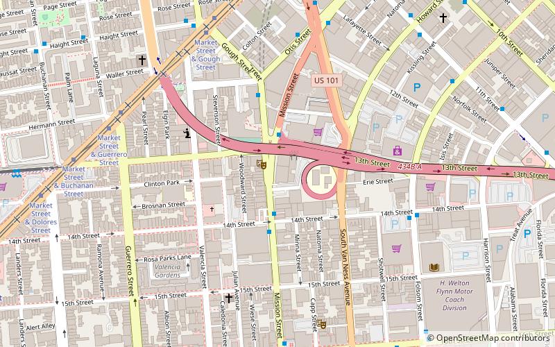
Map
Gallery
Facts and practical information
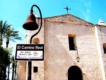
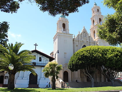
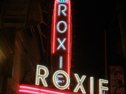
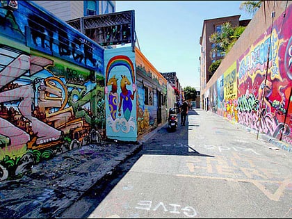
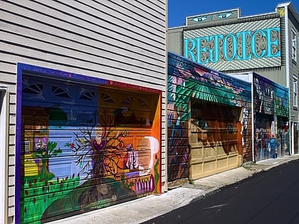
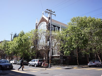
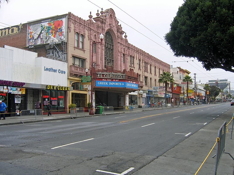
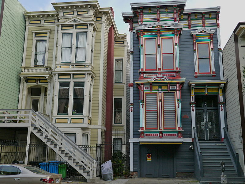
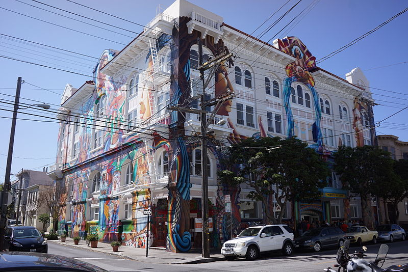
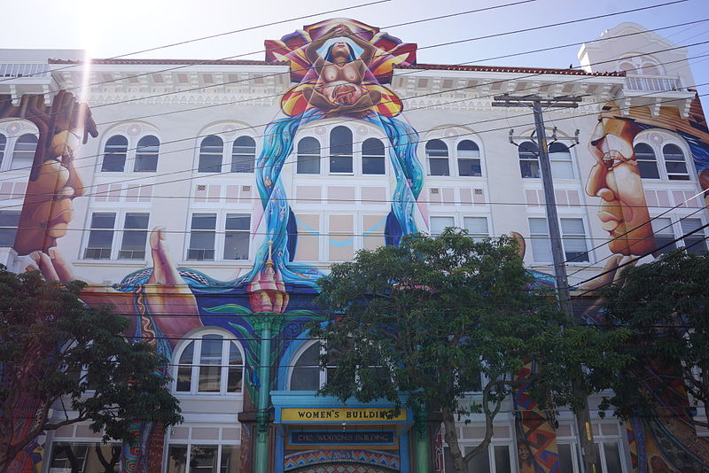
The Mission District, commonly known as The Mission, is a neighborhood in San Francisco, California. One of the oldest neighborhoods in San Francisco, the Mission District's name is derived from Mission San Francisco de Asís, built in 1776 by the Spanish. The Mission is historically one of the most notable center of the city's Chicano/Mexican-American community. ()
Address
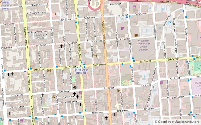
Southeast San Francisco (Mission District)San Francisco
ContactAdd
Social media
Add
Day trips
Mission District – popular in the area (distance from the attraction)
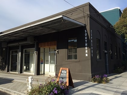
Nearby attractions include: Mission Workshop, Mission Dolores Park, Mission Dolores, Woodward's Gardens.
Frequently Asked Questions (FAQ)
Which popular attractions are close to Mission District?
Nearby attractions include Artists' Television Access, San Francisco (6 min walk), Clarion Alley, San Francisco (7 min walk), New Mission Theater, San Francisco (7 min walk), The Marsh Theatre, San Francisco (8 min walk).
How to get to Mission District by public transport?
The nearest stations to Mission District:
Trolleybus
Bus
Metro
Light rail
Tram
Trolleybus
- Mission Street & 20th Street • Lines: 14 (3 min walk)
- Mission Street & 18th Street • Lines: 14, 33 (4 min walk)
Bus
- Mission Street & 20th Street • Lines: 14R, 49 (3 min walk)
- Mission Street & 18th Street • Lines: 49 (4 min walk)
Metro
- 16th Street Mission • Lines: Blue, Green, Red, Yellow (10 min walk)
- 24th Street Mission • Lines: Blue, Green, Red, Yellow (13 min walk)
Light rail
- Right of Way & Liberty Street • Lines: J (12 min walk)
Tram
- Market Street & Church Street • Lines: F (20 min walk)



 Muni Metro