Morrissey Boulevard, Boston
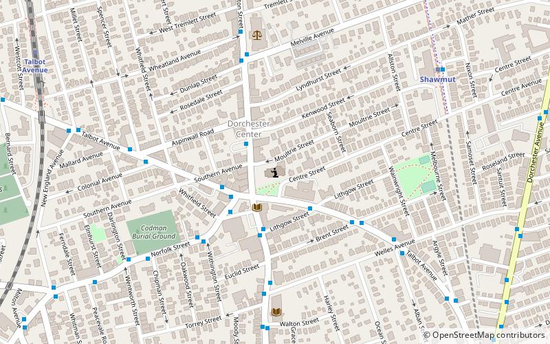
Map
Facts and practical information
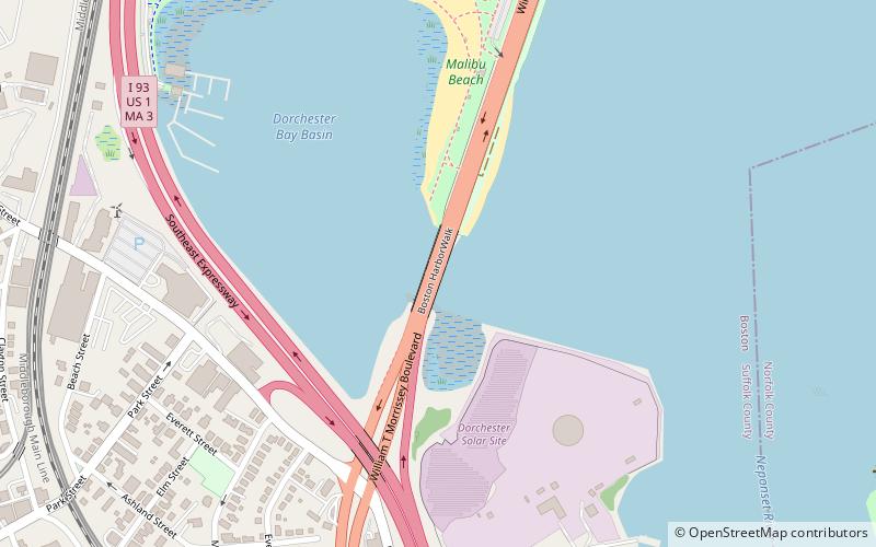
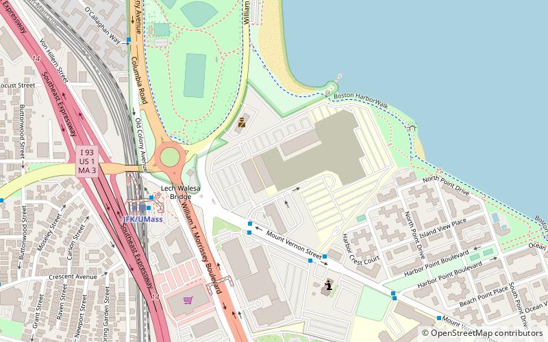
Morrissey Boulevard is a six-lane divided coastal road in the Dorchester neighborhood of Boston, Massachusetts. It is owned and maintained by the Massachusetts Department of Conservation and Recreation. ()
Length: 2.71 miCoordinates: 42°18'14"N, 71°2'52"W
Address
Morrissey BlvdBoston
ContactAdd
Social media
Add
Getting there by public transportation
Public transportation stops near this location
- Metro
- Bus
- Train
 Metro
Metro
- Calculate routeFields Corner 20 min walk
- Calculate routeJFK/UMass 30 min walk
- Calculate routeShawmut 31 min walk
- Calculate routeDorchester Avenue @ Edison Green 30 min walk
- Calculate routeTalbot Ave @ Lithgow St 38 min walk
- Calculate routeJFK/UMass 30 min walk
- Calculate routeUphams Corner 39 min walk
Maps MBTA Subway
MBTA SubwayDay trips
Morrissey Boulevard – popular in the area (distance from the attraction)
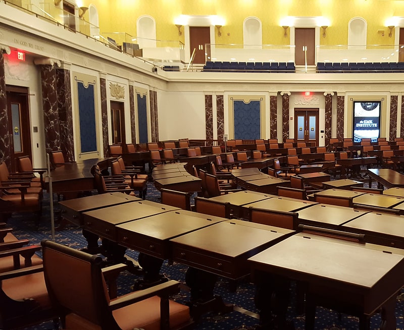
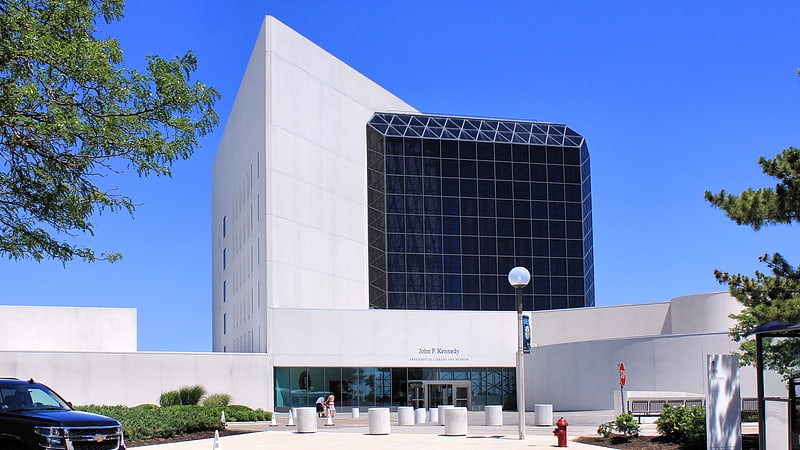
Nearby attractions include: Edward M. Kennedy Institute for the United States Senate, John F. Kennedy Presidential Library and Museum, Edward Everett Square, Bayside Expo Center.


Frequently Asked Questions (FAQ)
Which popular attractions are close to Morrissey Boulevard?
Nearby attractions include Savin Hill, Boston (10 min walk), Fields Corner, Boston (15 min walk), Squantum Point Park, Quincy (19 min walk), First Parish Church of Dorchester, Boston (21 min walk).
How to get to Morrissey Boulevard by public transport?
The nearest stations to Morrissey Boulevard:
Metro
Bus
Train
Metro
- Fields Corner • Lines: Red (20 min walk)
- JFK/UMass • Lines: Red (30 min walk)
Bus
- Dorchester Avenue @ Edison Green (30 min walk)
- Talbot Ave @ Lithgow St • Lines: 23 (38 min walk)
Train
- JFK/UMass (30 min walk)
- Uphams Corner (39 min walk)