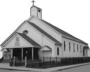
Edward Everett Square, Boston
Map
Map

Facts and practical information
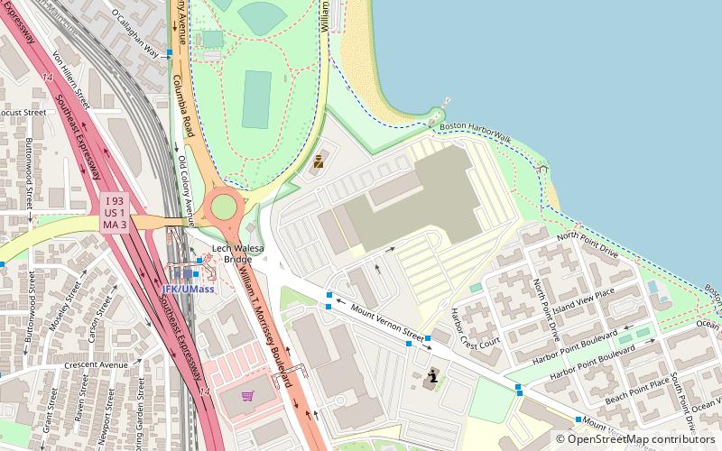
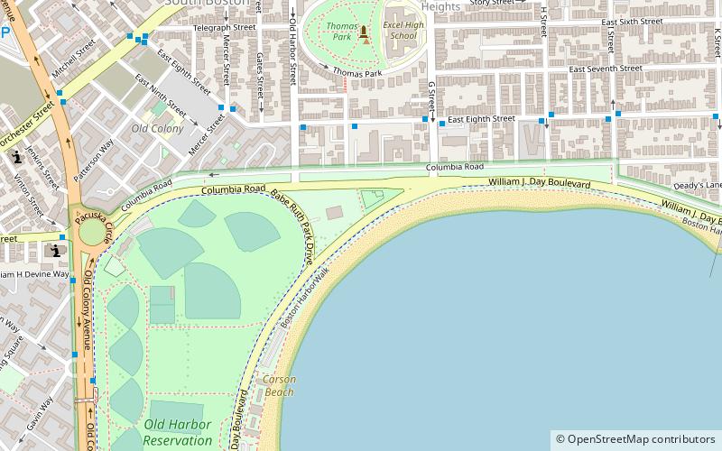
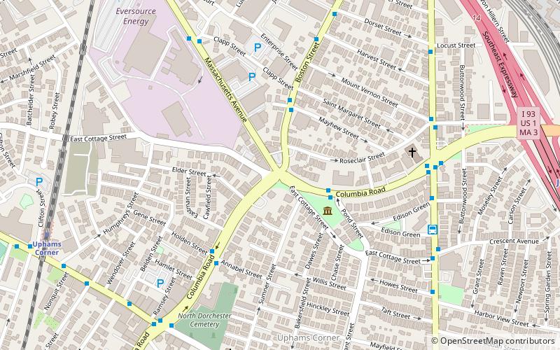
Edward Everett Square, in Dorchester, Boston, is the intersection of Columbia Road, Massachusetts Avenue, East Cottage Street and Boston Street, that was named in 1894 after a former Governor of Massachusetts, Edward Everett, who was born near there. ()
Coordinates: 42°19'14"N, 71°3'41"W
Address
Dorchester (Columbia Point)Boston
ContactAdd
Social media
Add
Day trips
Edward Everett Square – popular in the area (distance from the attraction)
Nearby attractions include: South Bay Shopping Center, Bayside Expo Center, James Blake House, First Parish Church of Dorchester.
Frequently Asked Questions (FAQ)
Which popular attractions are close to Edward Everett Square?
Nearby attractions include James Blake House, Boston (3 min walk), Captain Lemuel Clap House, Boston (5 min walk), William Clapp House, Boston (5 min walk), Dorchester North Burying Ground, Boston (7 min walk).
How to get to Edward Everett Square by public transport?
The nearest stations to Edward Everett Square:
Bus
Train
Metro
Bus
- Dorchester Avenue @ Edison Green (7 min walk)
- Warren St @ Woodbine St • Lines: 23 (26 min walk)
Train
- Uphams Corner (10 min walk)
- JFK/UMass (13 min walk)
Metro
- JFK/UMass • Lines: Red (12 min walk)
- Andrew • Lines: Red (18 min walk)

 MBTA Subway
