Second Church of Dorchester, Boston
Map
Facts and practical information
Second Church of Dorchester is a Church of the Nazarene in the historic Codman Square District of Dorchester in Boston, Massachusetts. In 1804 the church was founded as the Dorchester Meeting House Company by members from the First Parish Church of Dorchester. ()
Coordinates: 42°17'27"N, 71°4'15"W
Address
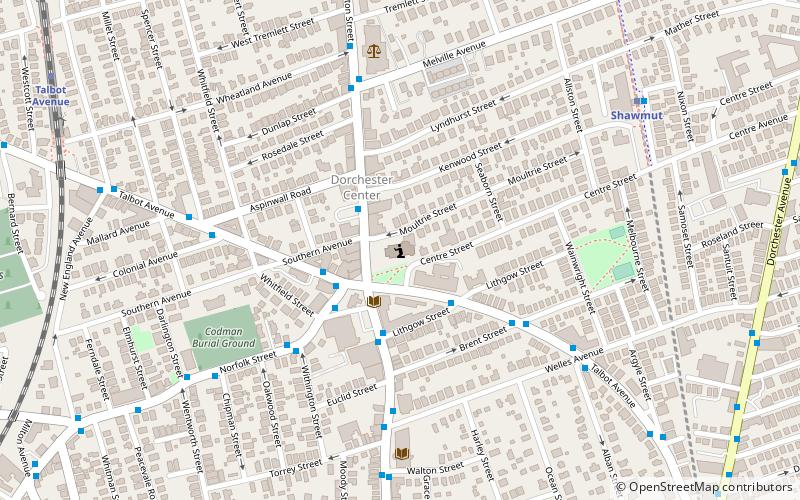
600 Washington StreetDorchester (St. Marks)Boston
ContactAdd
Social media
Add
Getting there by public transportation
Public transportation stops near this location
- Metro
- Bus
- Light rail
- Train
 Metro
Metro
- Calculate routeTalbot Ave @ Lithgow St 3 min walk
- Calculate routeWashington St opp School St 11 min walk
- Calculate routeShawmut 8 min walk
- Calculate routeAshmont/Peabody Square 15 min walk
- Calculate routeFields Corner 21 min walk
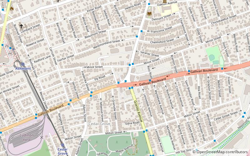
- Calculate routeTalbot Avenue 11 min walk
- Calculate routeFour Corners/Geneva 27 min walk
- Calculate routeMorton Street 28 min walk
- Calculate routeAshmont/Peabody Square 17 min walk
- Calculate routeCedar Grove 24 min walk
Maps MBTA Subway
MBTA SubwayDay trips
Second Church of Dorchester – popular in the area (distance from the attraction)
Nearby attractions include: William J. Devine Memorial Golf Course, Parish of All Saints Ashmont, Greenwood Memorial United Methodist Church, Pierce House.


Frequently Asked Questions (FAQ)
Which popular attractions are close to Second Church of Dorchester?
Nearby attractions include Sherman Apartments Historic District, Boston (3 min walk), Codman Square District, Boston (3 min walk), Dorchester Temple Baptist Church, Boston (5 min walk), Parish of All Saints Ashmont, Boston (12 min walk).
How to get to Second Church of Dorchester by public transport?
The nearest stations to Second Church of Dorchester:
Bus
Metro
Train
Light rail
Bus
- Talbot Ave @ Lithgow St • Lines: 23 (3 min walk)
- Washington St opp School St • Lines: 23 (11 min walk)
Metro
- Shawmut • Lines: Red (8 min walk)
- Ashmont/Peabody Square • Lines: Red (15 min walk)
Train
- Talbot Avenue (11 min walk)
- Four Corners/Geneva (27 min walk)
Light rail
- Ashmont/Peabody Square • Lines: M (17 min walk)
- Cedar Grove • Lines: M (24 min walk)