Koip Peak, Ansel Adams Wilderness
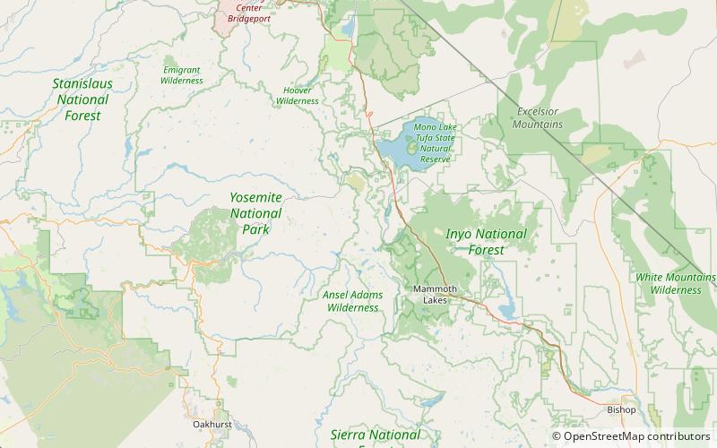
Map

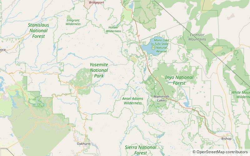
Map

Facts and practical information
Koip Peak is a 12,968-foot-elevation summit in Mono County, California, in the United States. It is located in the Ansel Adams Wilderness, on land managed by Inyo National Forest. It is approximately 0.25 miles outside of Yosemite National Park's eastern boundary, and 1.0 mile west of Parker Peak. ()
First ascent: 1919Elevation: 12968 ftProminence: 162 ftCoordinates: 37°48'49"N, 119°12'7"W
Address
Ansel Adams Wilderness
ContactAdd
Social media
Add
Day trips
Koip Peak – popular in the area (distance from the attraction)
Nearby attractions include: Mammoth Peak, Mount Lyell, Simmons Peak, Agnew Lake.


