Fort Vancouver National Historic Site, Oregon City
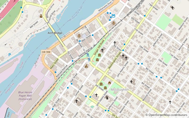
Map
Facts and practical information
Fort Vancouver National Historic Site is a United States National Historic Site located in the states of Washington and Oregon. The National Historic Site consists of two units, one located on the site of Fort Vancouver in modern-day Vancouver, Washington; the other being the former residence of John McLoughlin in Oregon City, Oregon. The two sites were separately given national historic designation in the 1940s. The Fort Vancouver unit was designated a National Historic Site in 1961, and was combined with the McLoughlin House into a unit in 2003. ()
Getting there by public transportation
Public transportation stops near this location
- Bus
- Train
 Bus
Bus
- Calculate routeRailroad & 7th 3 min walk
- Calculate routeMain & 8th Street 3 min walk
- Calculate route9th & Washington 4 min walk
- Calculate routeOregon City 20 min walk
Day trips


Frequently Asked Questions (FAQ)
Which popular attractions are close to Fort Vancouver National Historic Site?
Nearby attractions include Moontrap, Oregon City (2 min walk), Oregon City Municipal Elevator, Oregon City (3 min walk), Ermatinger House, Oregon City (4 min walk), Oregon City Library, Oregon City (5 min walk).
How to get to Fort Vancouver National Historic Site by public transport?
The nearest stations to Fort Vancouver National Historic Site:
Bus
Train
Bus
- Railroad & 7th • Lines: 33 (3 min walk)
- Main & 8th Street • Lines: 33 (3 min walk)
Train
- Oregon City (20 min walk)