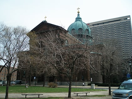
Vine Street Expressway Bridge, Philadelphia
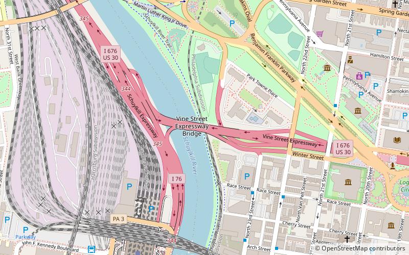
Map
Map

Facts and practical information
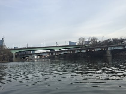
The Vine Street Expressway Bridge was built in 1959 and reconstructed 1989 by the Pennsylvania Department of Transportation. It carries Interstate 676 over the Schuylkill River, CSX Transportation tracks, and a North 24th Street ramp, in Philadelphia, Pennsylvania. ()
Coordinates: 39°57'36"N, 75°10'45"W
Day trips
Vine Street Expressway Bridge – popular in the area (distance from the attraction)
Nearby attractions include: Barnes Foundation, Rodin Museum, Franklin Institute, Spring Garden Street Bridge.
Frequently Asked Questions (FAQ)
Which popular attractions are close to Vine Street Expressway Bridge?
Nearby attractions include Board of Education Building, Philadelphia (6 min walk), The Ideal Scout, Philadelphia (6 min walk), Cira Centre, Philadelphia (6 min walk), Benjamin Franklin Parkway, Philadelphia (7 min walk).
How to get to Vine Street Expressway Bridge by public transport?
The nearest stations to Vine Street Expressway Bridge:
Train
Bus
Tram
Metro
Train
- Philadelphia 30th Street Station (9 min walk)
- Suburban Station (19 min walk)
Bus
- Bolt Bus (10 min walk)
- Megabus (10 min walk)
Tram
- 30th Street • Lines: 10, 11, 13, 34, 36 (11 min walk)
- 22nd Street • Lines: 10, 11, 13, 34, 36 (12 min walk)
Metro
- 30th Street • Lines: Mfl (12 min walk)
- 34th Street • Lines: Mfl (19 min walk)

 SEPTA Regional Rail


