Windy Run, Arlington
Map

Map

Facts and practical information
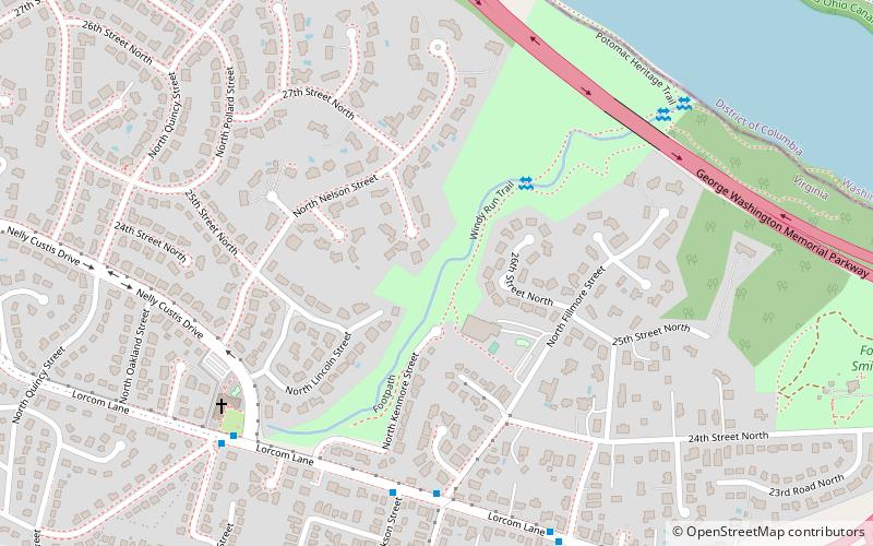
Windy Run is a small stream in Arlington County, Virginia. From its source near Lorcom Lane, Windy Run flows on a northeastern course and empties into the Potomac River within the Federal parklands of the George Washington Memorial Parkway. Windy Run is surrounded predominantly by forests. It is known by many of the Arlington locals as simply "The Falls". ()
Elevation: 141 ft a.s.l.Coordinates: 38°54'12"N, 77°5'55"W
Day trips
Windy Run – popular in the area (distance from the attraction)
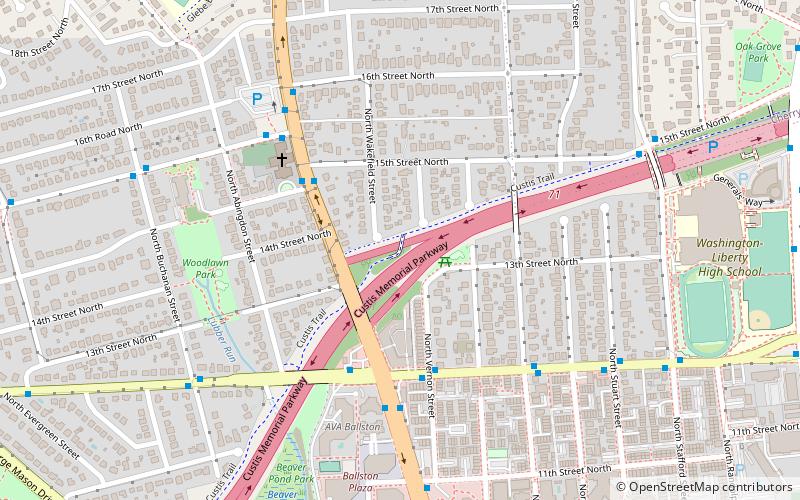
Nearby attractions include: Custis Trail, The Crossing Clarendon, Fletcher's Cove, Palisades Library.
Frequently Asked Questions (FAQ)
Which popular attractions are close to Windy Run?
Nearby attractions include Maywood Historic District, Arlington (10 min walk), Fort C. F. Smith, Arlington (12 min walk), Cherrydale, Arlington (18 min walk), Georgetown Reservoir, Washington D.C. (19 min walk).
How to get to Windy Run by public transport?
The nearest stations to Windy Run:
Bus
Metro
Bus
- N Lorcom Ln at N Fillmore St • Lines: 62 (6 min walk)
Metro
- Court House • Lines: Or, Sv (29 min walk)
- Clarendon • Lines: Or, Sv (30 min walk)


