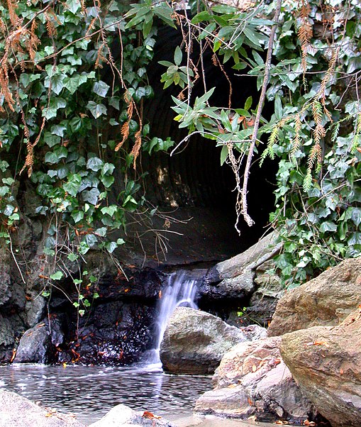
Temescal Regional Recreational Area, Oakland

Gallery (2)
Map
Map
Gallery
Facts and practical information
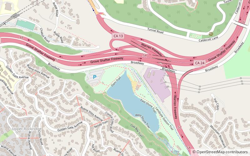
Temescal Regional Recreation Area, formerly Lake Temescal Regional Park, is a regional park in the Berkeley Hills, in northeastern Oakland, California. The TRRA encompasses 48 acres, abutting SR 24, SR13, and the interchange connecting the two highways, southwest of the Caldecott Tunnel.The park is part of the East Bay Regional Park District. ()
Created: 1936Elevation: 433 ft a.s.l.Coordinates: 37°50'52"N, 122°13'52"W
Getting there by public transportation
Public transportation stops near this location
- Metro
- Bus
 Metro
Metro
- Calculate routeClaremont Avenue & Hazel Road 27 min walk
- Calculate routeRockridge 29 min walk
Day trips
Temescal Regional Recreational Area – popular in the area (distance from the attraction)
Nearby attractions include: Mountain View Cemetery, Berkeley Playhouse, Magnes Collection of Jewish Art and Life, California College of the Arts.


Frequently Asked Questions (FAQ)
Which popular attractions are close to Temescal Regional Recreational Area?
Nearby attractions include Lake Temescal, Oakland (2 min walk), Berkeley Hills Tunnel, Oakland (12 min walk), Caldecott Tunnel, Oakland (24 min walk).
How to get to Temescal Regional Recreational Area by public transport?
The nearest stations to Temescal Regional Recreational Area:
Bus
Metro
Bus
- Claremont Avenue & Hazel Road • Lines: 79 (27 min walk)
Metro
- Rockridge • Lines: Yellow (29 min walk)