Saint Mary Cemetery, Oakland

Map
Facts and practical information
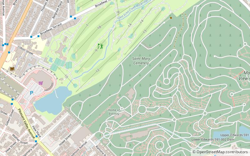
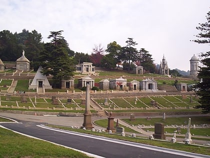
Saint Mary Cemetery is a Catholic cemetery in Oakland, Alameda County, California, adjacent to Mountain View Cemetery. ()
Established: 1863 (163 years ago)Coordinates: 37°50'6"N, 122°14'35"W
Day trips
Saint Mary Cemetery – popular in the area (distance from the attraction)
Nearby attractions include: Piedmont Avenue, Mountain View Cemetery, The Museum of Art and Digital Entertainment, Bushrod.
Frequently Asked Questions (FAQ)
Which popular attractions are close to Saint Mary Cemetery?
Nearby attractions include Chapel of the Chimes, Oakland (7 min walk), Mountain View Cemetery, Oakland (9 min walk), California College of the Arts, Oakland (12 min walk), Rockridge, Oakland (17 min walk).
How to get to Saint Mary Cemetery by public transport?
The nearest stations to Saint Mary Cemetery:
Bus
Metro
Bus
- Pleasant Valley Avenue & Montgomery Street • Lines: 12 (11 min walk)
- Piedmont Avenue & Brandon Street • Lines: 12 (12 min walk)
Metro
- Rockridge • Lines: Yellow (21 min walk)


