Mountain View Cemetery, Oakland

Gallery (7)
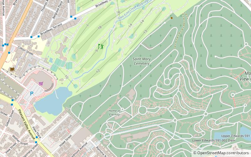
Map


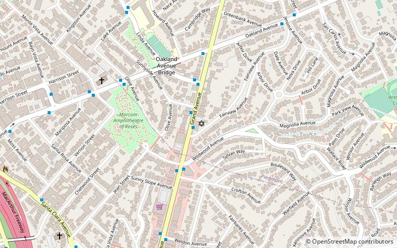
Map

Gallery
Facts and practical information
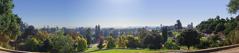
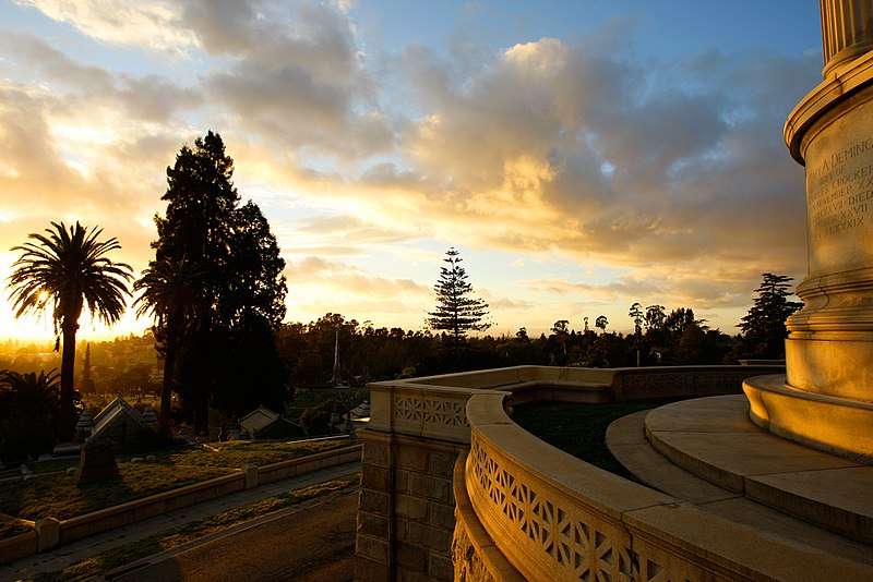
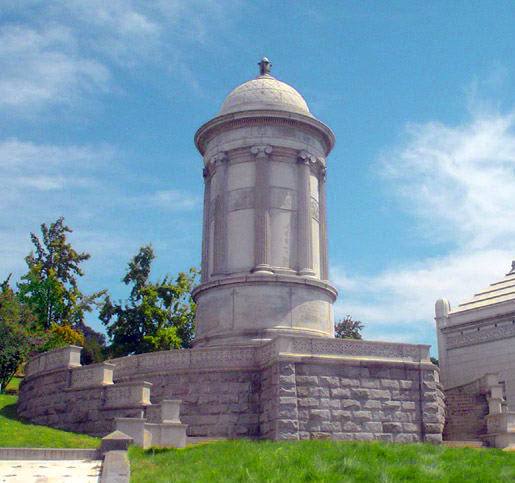
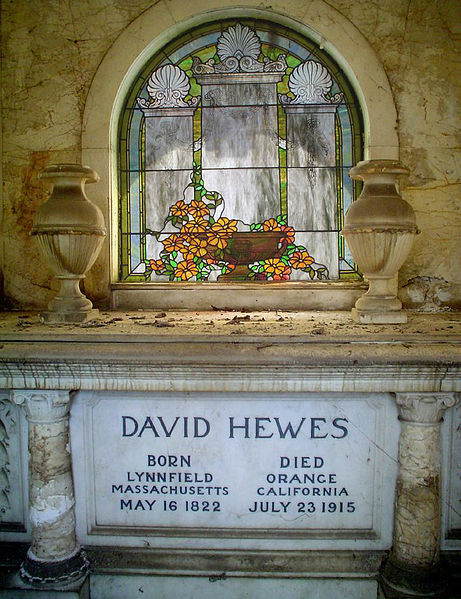
The Mountain View Cemetery is a 226-acre rural cemetery in Oakland, Alameda County, California. It was established in 1863 by a group of East Bay pioneers under the California Rural Cemetery Act of 1859. The association they formed still operates the cemetery today. Mountain View was designed by Frederick Law Olmsted, the landscape architect who also designed New York City's Central Park and much of UC Berkeley and Stanford University. ()
Getting there by public transportation
Public transportation stops near this location
- Metro
- Bus
 Metro
Metro
- Calculate routeOakland Avenue & Highland Avenue 16 min walk
- Calculate routeHighland Avenue & Craig Avenue 17 min walk
- Calculate routePiedmont Avenue & Pleasant Valley Avenue 17 min walk
- Calculate routeRockridge 27 min walk
Day trips


Frequently Asked Questions (FAQ)
Which popular attractions are close to Mountain View Cemetery?
Nearby attractions include Saint Mary Cemetery, Oakland (9 min walk), Chapel of the Chimes, Oakland (14 min walk), California College of the Arts, Oakland (20 min walk), Rockridge, Oakland (23 min walk).
How to get to Mountain View Cemetery by public transport?
The nearest stations to Mountain View Cemetery:
Bus
Metro
Bus
- Oakland Avenue & Highland Avenue • Lines: 33 (16 min walk)
- Highland Avenue & Craig Avenue • Lines: 33 (17 min walk)
Metro
- Rockridge • Lines: Yellow (27 min walk)