Rockridge, Oakland
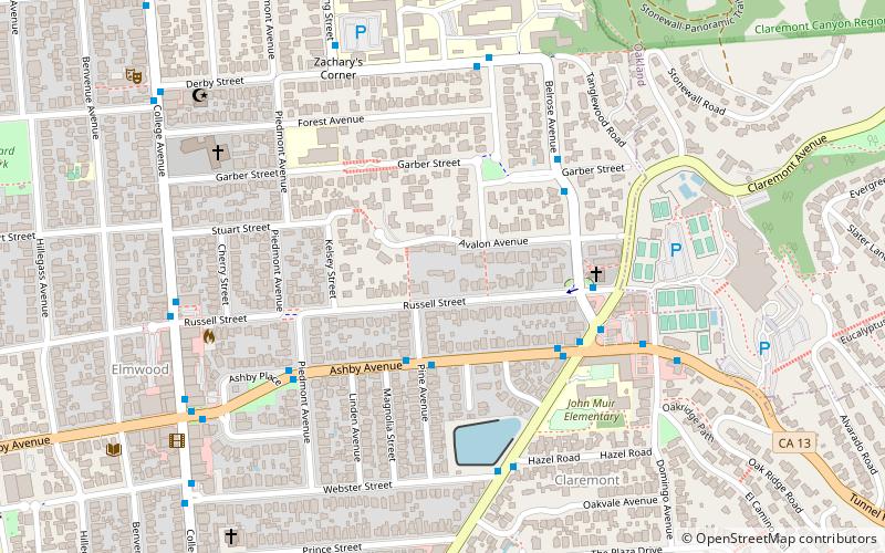
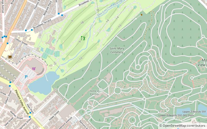
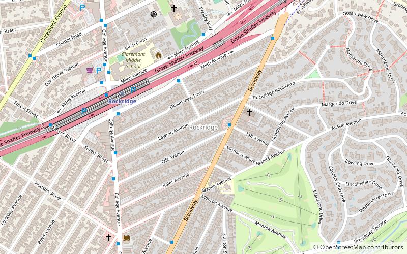
Map
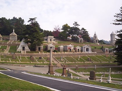
Gallery
Facts and practical information
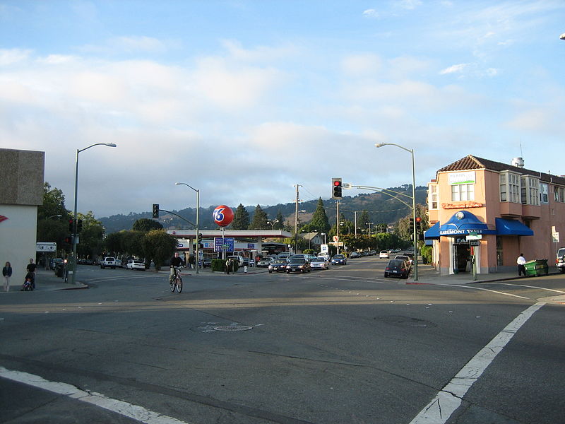
Rockridge is a residential neighborhood and commercial district in Oakland, California. Rockridge is generally defined as the area east of Telegraph Avenue, south of the Berkeley city limits, west of the Oakland hills and north of the intersection of Pleasant Valley Avenue/51st Street and Broadway. Rockridge was listed by Money Magazine in 2002 as one of the "best places to live". ()
Coordinates: 37°50'37"N, 122°14'52"W
Address
North Oakland (Rockridge)Oakland
ContactAdd
Social media
Add
Day trips
Rockridge – popular in the area (distance from the attraction)
Nearby attractions include: Piedmont Avenue, Mountain View Cemetery, White Horse Inn, Bushrod.
Frequently Asked Questions (FAQ)
Which popular attractions are close to Rockridge?
Nearby attractions include St Albert's Priory, Oakland (7 min walk), California College of the Arts, Oakland (14 min walk), Saint Mary Cemetery, Oakland (17 min walk), Clars Auction Gallery, Oakland (19 min walk).
How to get to Rockridge by public transport?
The nearest stations to Rockridge:
Bus
Metro
Bus
- Keith Avenue & College Avenue • Lines: 51A (6 min walk)
- College Avenue & Keith Avenue • Lines: 51B, 851 (6 min walk)
Metro
- Rockridge • Lines: Yellow (6 min walk)
- MacArthur • Lines: Orange, Red, Yellow (38 min walk)


