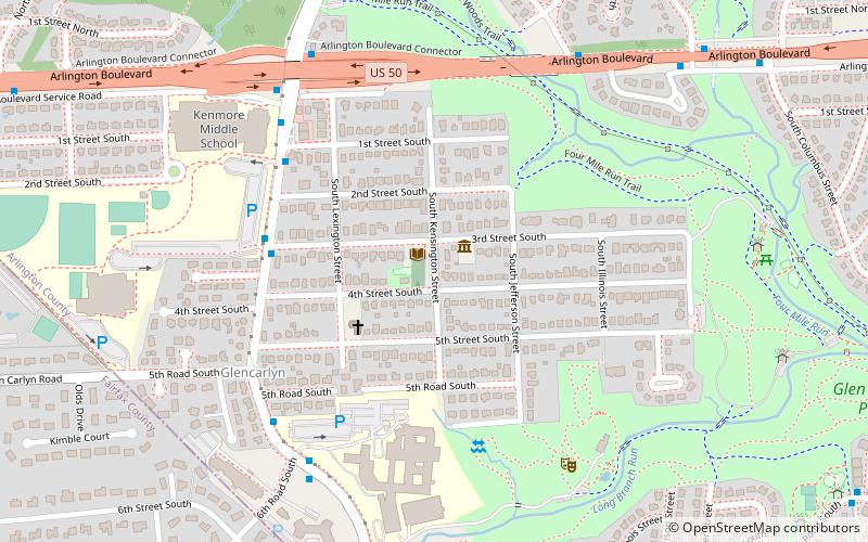
Glencarlyn, Arlington
Map
Facts and practical information
Glencarlyn is a residential neighborhood in Arlington County, Virginia. ()
Coordinates: 38°51'48"N, 77°7'32"W
Address
South Arlington (Glencarlyn)Arlington
ContactAdd
Social media
Add
Getting there by public transportation
Public transportation stops near this location
- Bus
 Bus
Bus
- Calculate routeS Carlin Springs Rd at 3rd St S 5 min walk
Day trips


Frequently Asked Questions (FAQ)
Which popular attractions are close to Glencarlyn?
Nearby attractions include Glencarlyn Library, Arlington (1 min walk), Carlin Hall, Arlington (1 min walk), Ball-Sellers House, Arlington (1 min walk), Long Branch Nature Center, Arlington (7 min walk).
How to get to Glencarlyn by public transport?
The nearest stations to Glencarlyn:
Bus
Bus
- S Carlin Springs Rd at 3rd St S • Lines: 75 (5 min walk)