Soo Line Building, Minneapolis
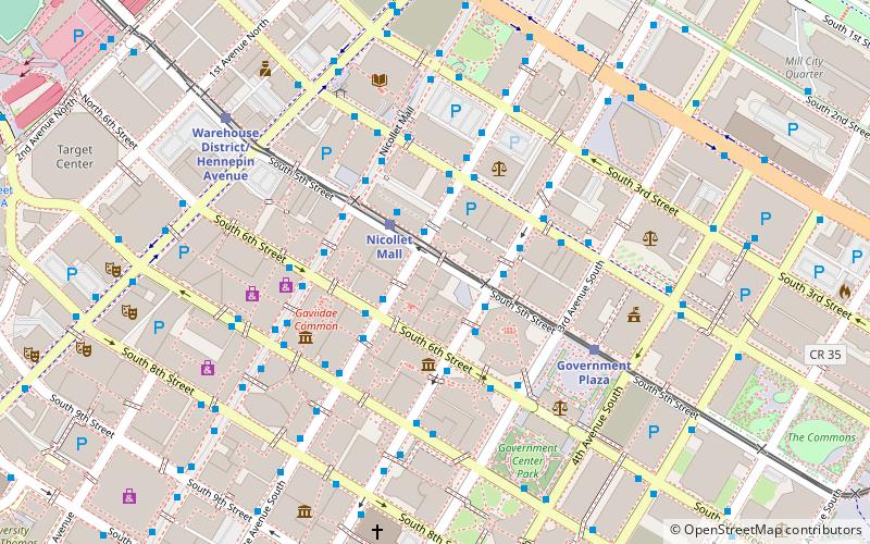
Map
Map

Facts and practical information
The Soo Line Building is a 19-story residential highrise in Minneapolis, Minnesota which was the tallest commercial building in the city from the time it was completed in 1915 until the 26-story Foshay Tower was built in 1929. ()
Built: 1915 (111 years ago)Coordinates: 44°58'40"N, 93°16'8"W
Address
501 Marquette Avenue SouthCentral Minneapolis (Downtown West)Minneapolis
Contact
Social media
Add
Day trips
Soo Line Building – popular in the area (distance from the attraction)
Nearby attractions include: Nicollet Mall, Mayo Clinic Square, Gaviidae Common, Woodbury Lakes.
Frequently Asked Questions (FAQ)
Which popular attractions are close to Soo Line Building?
Nearby attractions include Fifth Street Towers, Minneapolis (2 min walk), Rand Tower, Minneapolis (2 min walk), RBC Plaza, Minneapolis (3 min walk), Capella Tower, Minneapolis (3 min walk).
How to get to Soo Line Building by public transport?
The nearest stations to Soo Line Building:
Bus
Light rail
Train
Bus
- Marquette Avenue & 5th Street • Lines: 250C, 250M, 270 (1 min walk)
- Marquette Avenue & 6th Street • Lines: 781 (2 min walk)
Light rail
- Nicollet Mall • Lines: 901, 902 (2 min walk)
- Government Plaza • Lines: 901, 902 (5 min walk)
Train
- Target Field (14 min walk)


