Baker Beach, San Francisco
Map
Gallery
Facts and practical information
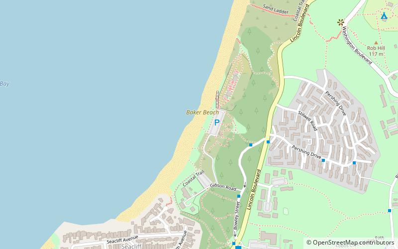
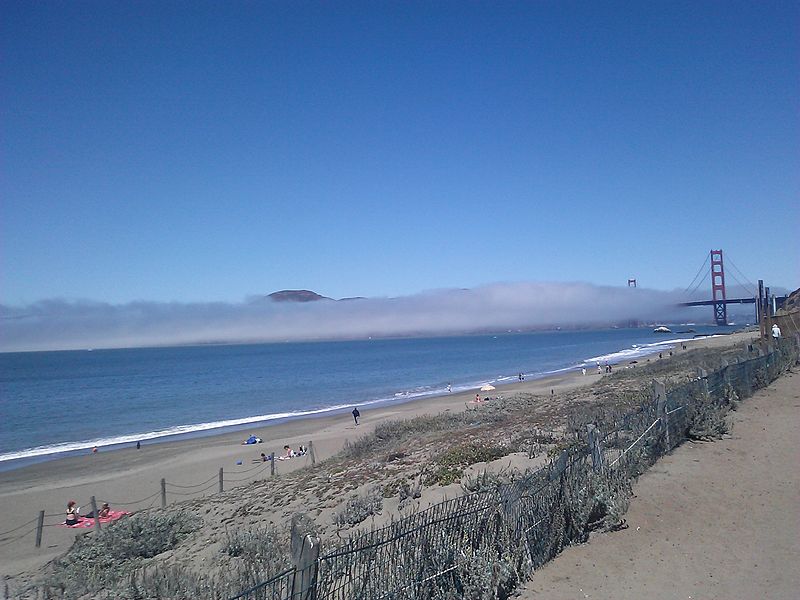
Baker Beach is a public beach on the peninsula of San Francisco, California, U.S. The beach lies on the shore of the Pacific Ocean in the northwest of the city. It is roughly a 0.5 mi long, beginning just south of Golden Gate Point, extending southward toward the Seacliff peninsula, the Palace of the Legion of Honor and the Sutro Baths. The northern section of Baker Beach is "frequented by clothing-optional sunbathers," and as such it is considered a nude beach. ()
Day trips
Baker Beach – popular in the area (distance from the attraction)
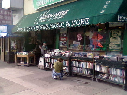
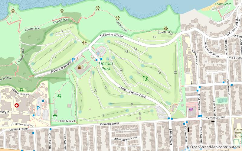
Nearby attractions include: Legion of Honor Museum, Fort Point National Historic Site, Green Apple Books, Lands End.
Frequently Asked Questions (FAQ)
Which popular attractions are close to Baker Beach?
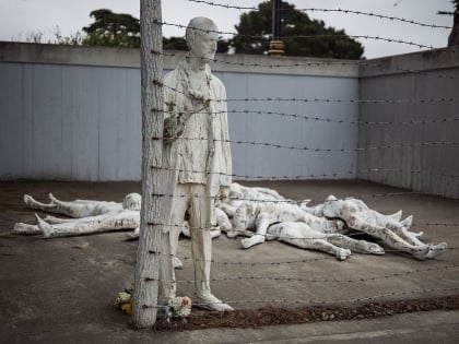
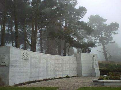
Nearby attractions include China Beach, San Francisco (13 min walk), West Coast Memorial to the Missing of World War II, San Francisco (14 min walk), MacArthur Tunnel, San Francisco (21 min walk), Holy Virgin Cathedral, San Francisco (22 min walk).
How to get to Baker Beach by public transport?
The nearest stations to Baker Beach:
Bus
Trolleybus
Bus
- Bowley Street & Lincoln Boulevard • Lines: 29 (4 min walk)
- Lincoln Boulevard & Pershing Drive • Lines: 29, Ph (5 min walk)
Trolleybus
- California Street & 22nd Avenue • Lines: 1 (16 min walk)

 Muni Metro

