Albany Bulb, Berkeley
Map
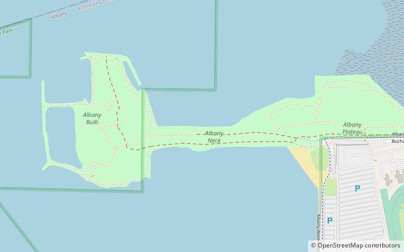
Map

Facts and practical information
The Albany Bulb is a former landfill largely owned by the City of Albany, in California. The Bulb is the west end of a landfill peninsula jutting west from the east shore of San Francisco Bay. The term "Bulb" is often used to refer to the entire peninsula, which includes the Albany Plateau, north of Buchanan Street at its base; the high narrow "Neck," and the round "Bulb." The Bulb is part of the City of Albany, and can be reached via Buchanan Street or the Bay Trail along the east side of San Francisco Bay. ()
Elevation: 3 ft a.s.l.Coordinates: 37°53'24"N, 122°19'16"W
Day trips
Albany Bulb – popular in the area (distance from the attraction)
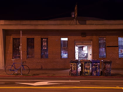
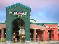
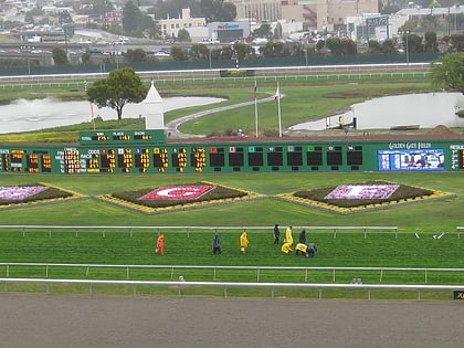
Nearby attractions include: 924 Gilman, Pacific East Mall, El Cerrito Plaza, Golden Gate Fields.
Frequently Asked Questions (FAQ)
How to get to Albany Bulb by public transport?
The nearest stations to Albany Bulb:
Bus
Bus
- 555 Pierce Street • Lines: 80 (21 min walk)
- 545 Pierce Street • Lines: 80 (21 min walk)

