Davis Square, Boston
Map
Gallery
Facts and practical information
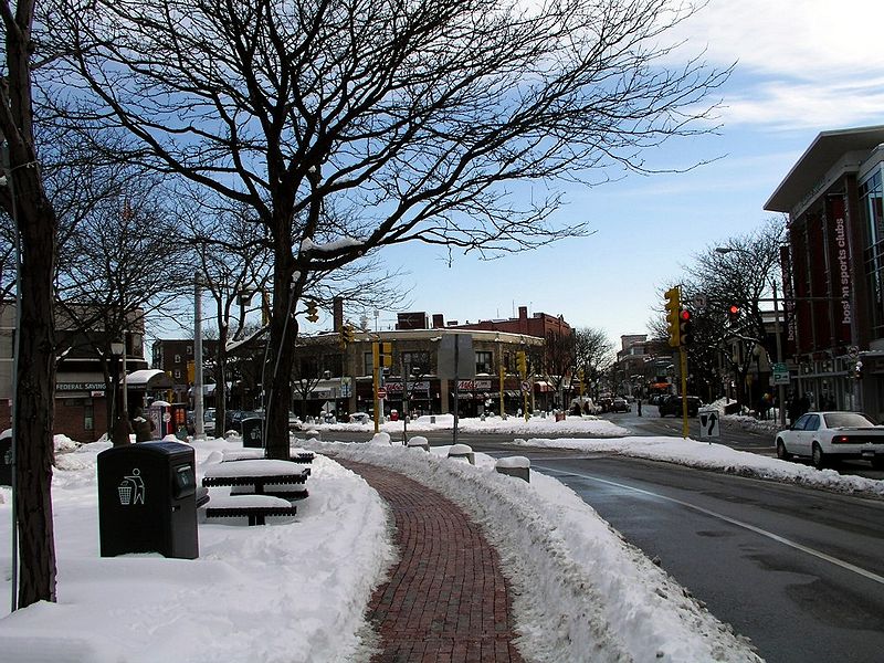
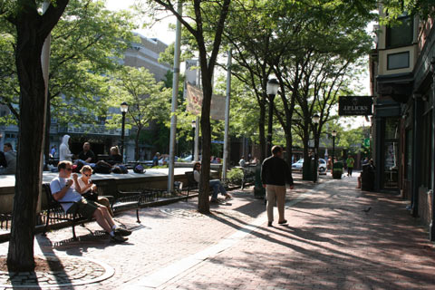
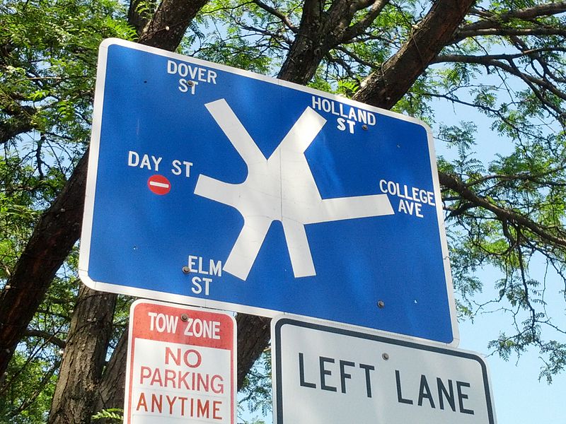
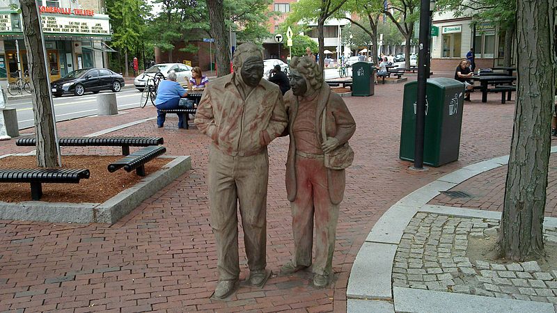
Davis Square is a major intersection in the northwestern section of Somerville, Massachusetts where several streets meet: Holland Street, Dover Street, Day Street, Elm Street, Highland Avenue, and College Avenue. The name is often used to refer to the West Somerville neighborhood surrounding the square as well. ()
Coordinates: 42°23'47"N, 71°7'20"W
Day trips
Davis Square – popular in the area (distance from the attraction)
Nearby attractions include: Lizard Lounge, The Highland, Fitchburg Cutoff, Somerville Community Path.
Frequently Asked Questions (FAQ)
Which popular attractions are close to Davis Square?
Nearby attractions include Somerville Theatre, Boston (2 min walk), West Somerville Branch Library, Boston (4 min walk), Chester Kingsley House, Arlington (6 min walk), Isaac McLean House, Arlington (8 min walk).
How to get to Davis Square by public transport?
The nearest stations to Davis Square:
Metro
Train
Bus
Metro
- Davis • Lines: Red (1 min walk)
- Porter • Lines: Red (15 min walk)
Train
- Porter (16 min walk)
Bus
- Alewife (26 min walk)



 MBTA Subway