Porter Square, Boston

Gallery (3)
Map
Map
Gallery
Facts and practical information
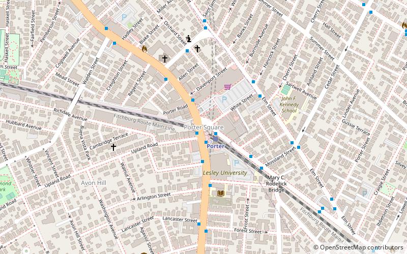
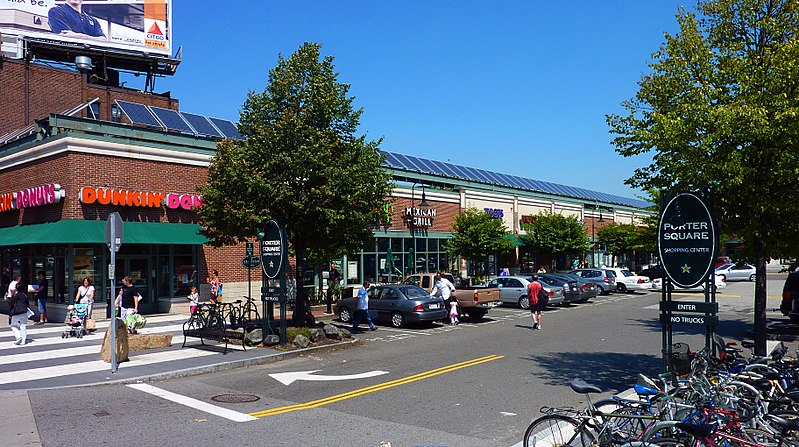
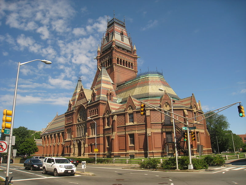
Porter Square is a neighborhood in Cambridge and Somerville, Massachusetts in the USA, located around the intersection of Massachusetts Avenue and Somerville Avenue, between Harvard and Davis Squares. The Porter Square station serves both the MBTA Red Line and the Commuter Rail Fitchburg Line. A major part of the Lesley University campus is located within the Porter Square area. ()
Coordinates: 42°23'19"N, 71°7'9"W
Address
Cambridge (Porter Square)Boston
ContactAdd
Social media
Add
Getting there by public transportation
Public transportation stops near this location
- Metro
- Bus
- Train
 Metro
Metro
- Calculate routePorter 1 min walk
- Calculate routeDavis 16 min walk
- Calculate routeHarvard 26 min walk
- Calculate routeAlewife 31 min walk
- Calculate routePorter 1 min walk
- Calculate routeHarvard Square 27 min walk
- Calculate routeMassachusetts Ave @ Holyoke St 28 min walk
- Calculate routeAlewife 32 min walk
- Calculate routeSpringfield St @ Newton St 34 min walk
Maps MBTA Subway
MBTA SubwayDay trips


Frequently Asked Questions (FAQ)
Which popular attractions are close to Porter Square?
Nearby attractions include Lovell Block, Arlington (2 min walk), North Avenue Congregational Church, Boston (4 min walk), St. James Episcopal Church, Boston (5 min walk), Harvard Mineralogical Museum, Boston (6 min walk).
How to get to Porter Square by public transport?
The nearest stations to Porter Square:
Metro
Train
Bus
Metro
- Porter • Lines: Red (1 min walk)
- Davis • Lines: Red (16 min walk)
Train
- Porter (1 min walk)
Bus
- Harvard Square (27 min walk)
- Massachusetts Ave @ Holyoke St • Lines: 1, 69 (28 min walk)