Kevin W. Fitzgerald Park, Boston
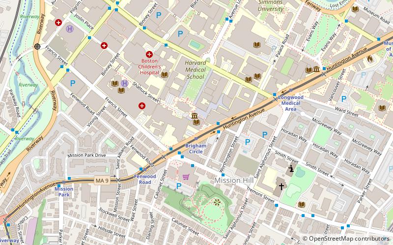
Map
Map

Facts and practical information
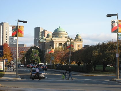
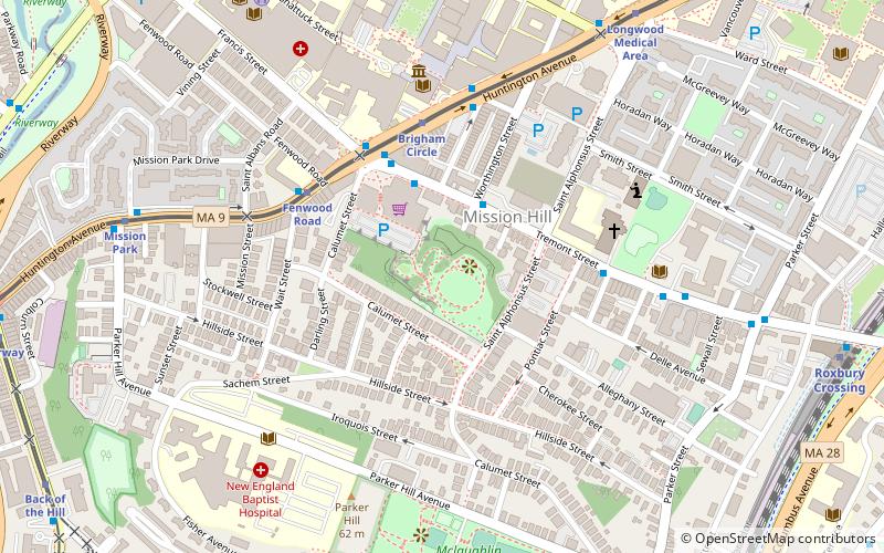
Kevin W. Fitzgerald Park is a 5.5-acre neighborhood park near Brigham Circle in the Mission Hill neighborhood of Boston, Massachusetts. It was built as part of the redevelopment of the "ledge site", a former Puddingstone quarry. It is accessible from a stairway from a nearby parking lot, with a winding pathway leading upwards to a view of greater Boston. ()
Elevation: 102 ft a.s.l.Coordinates: 42°19'57"N, 71°6'12"W
Address
145 Saint Alphonsus StMission HillBoston
ContactAdd
Social media
Add
Day trips
Kevin W. Fitzgerald Park – popular in the area (distance from the attraction)
Nearby attractions include: Fenway Park, Isabella Stewart Gardner Museum, Warren Anatomical Museum, Basilica and Shrine of Our Lady of Perpetual Help.
Frequently Asked Questions (FAQ)
Which popular attractions are close to Kevin W. Fitzgerald Park?
Nearby attractions include Brigham Circle, Boston (4 min walk), Basilica and Shrine of Our Lady of Perpetual Help, Boston (5 min walk), Boston Medical Library, Boston (5 min walk), Warren Anatomical Museum, Boston (6 min walk).
How to get to Kevin W. Fitzgerald Park by public transport?
The nearest stations to Kevin W. Fitzgerald Park:
Light rail
Bus
Metro
Train
Light rail
- Brigham Circle • Lines: E (4 min walk)
- Fenwood Road • Lines: E (5 min walk)
Bus
- Longwood Ave @ Blackfan St • Lines: 8 (10 min walk)
- Ave Louis Pasteur @ Longwood Ave • Lines: 8 (11 min walk)
Metro
- Roxbury Crossing • Lines: Orange (11 min walk)
- Jackson Square • Lines: Orange (18 min walk)
Train
- Ruggles (20 min walk)
- Lansdowne (27 min walk)

 MBTA Subway