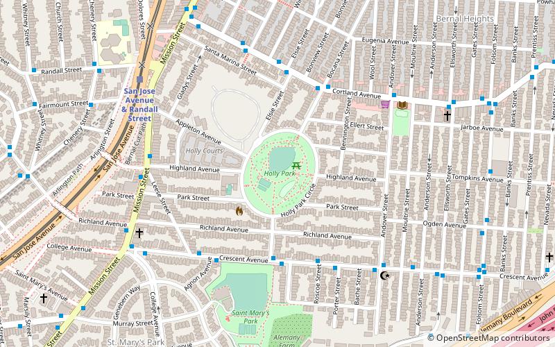
Holly Park, San Francisco

Gallery (1)
Map
Map
Facts and practical information
Holly Park is a public park in San Francisco, California in the Bernal Heights neighborhood. It is known for excellent views of the city and San Francisco Bay. ()
Created: 1920Elevation: 295 ft a.s.l.Coordinates: 37°44'14"N, 122°25'12"W
Address
Holly Park CirSoutheast San Francisco (Bernal Heights)San Francisco 94110
ContactAdd
Social media
Add
Getting there by public transportation
Public transportation stops near this location
- Metro
- Bus
- Trolleybus
- Light rail
 Metro
Metro
- Calculate routeCortland Avenue & Bocana Street 5 min walk
- Calculate routeMission Street & Highland Avenue 6 min walk
- Calculate routeMission Street & Highland Avenue 6 min walk
- Calculate routeMission Street & Richland Avenue 7 min walk
- Calculate routeSan Jose Avenue & Randall Street 8 min walk
- Calculate route30th Street & Dolores Street 11 min walk
- Calculate routeChurch Street & Day Street 14 min walk
- Calculate routeGlen Park 21 min walk
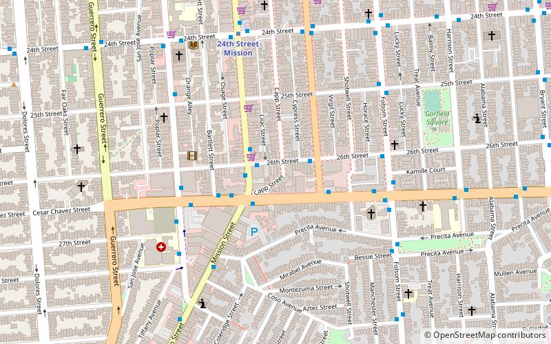
- Calculate route24th Street Mission 28 min walk
Maps Muni Metro
Muni MetroDay trips


Frequently Asked Questions (FAQ)
When is Holly Park open?
Holly Park is open:
- Monday 24h
- Tuesday 24h
- Wednesday 24h
- Thursday 24h
- Friday 24h
- Saturday 24h
- Sunday 24h
Which popular attractions are close to Holly Park?
Nearby attractions include Bernal Hill, San Francisco (12 min walk), St. Paul's Catholic Church, San Francisco (16 min walk), Billy Goat Hill, San Francisco (20 min walk), The Laundry SF, San Francisco (21 min walk).
How to get to Holly Park by public transport?
The nearest stations to Holly Park:
Trolleybus
Bus
Light rail
Metro
Trolleybus
- Cortland Avenue & Bocana Street • Lines: 24 (5 min walk)
- Mission Street & Highland Avenue • Lines: 14 (6 min walk)
Bus
- Mission Street & Highland Avenue • Lines: 49 (6 min walk)
- Mission Street & Richland Avenue • Lines: 14R, 49 (7 min walk)
Light rail
- San Jose Avenue & Randall Street • Lines: J (8 min walk)
- 30th Street & Dolores Street • Lines: J (11 min walk)
Metro
- Glen Park • Lines: Blue, Green, Red, Yellow (21 min walk)
- 24th Street Mission • Lines: Blue, Green, Red, Yellow (28 min walk)