Monroe Street Bridge, Spokane
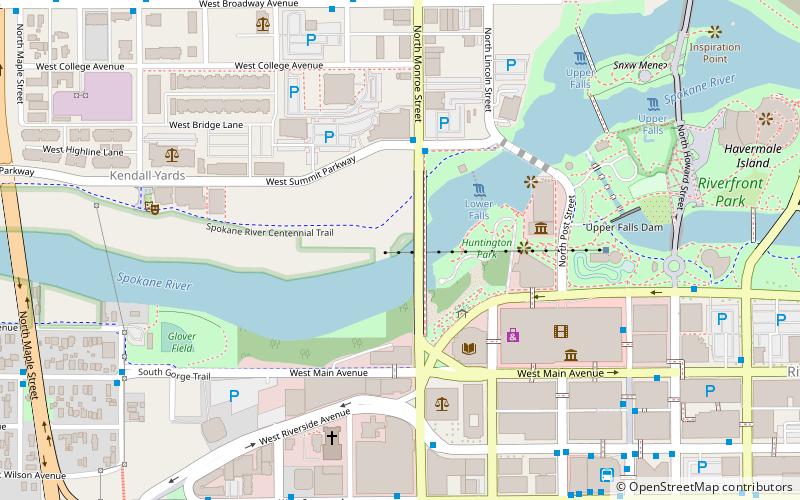
Map
Map

Facts and practical information
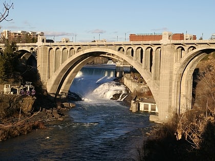
The Monroe Street Bridge is a deck arch bridge in the northwestern United States that spans the Spokane River in Spokane, Washington. It was built 111 years ago in 1911 by the city of Spokane, and was designed by city engineer John Chester Ralston, assisted in construction supervision by Morton Macartney with ornamentation provided by the firm of Kirtland Kelsey Cutter and Karl G. Malmgren as part of Cutter & Malmgren. ()
Opened: 1911 (115 years ago)Length: 896 ftWidth: 50 ftHeight: 136 ftCoordinates: 47°39'39"N, 117°25'37"W
Day trips
Monroe Street Bridge – popular in the area (distance from the attraction)
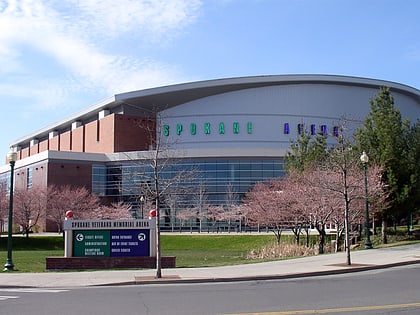
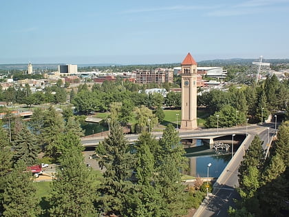
Nearby attractions include: Riverfront Park Carousel, River Park Square, Spokane Arena, Riverfront Park.
Frequently Asked Questions (FAQ)
Which popular attractions are close to Monroe Street Bridge?
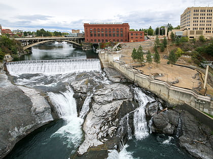
Nearby attractions include Spokane Falls, Spokane (3 min walk), Chinatown, Spokane (5 min walk), Peyton Building and Peyton Annex, Spokane (5 min walk), Cathedral of Our Lady of Lourdes, Spokane (6 min walk).
How to get to Monroe Street Bridge by public transport?
The nearest stations to Monroe Street Bridge:
Bus
Train
Bus
- Monroe @ Summit Parkway • Lines: 4 (3 min walk)
- Riverside @ Monroe • Lines: 20, 4 (6 min walk)
Train
- Spokane (16 min walk)
