Maple Street Bridge, Spokane
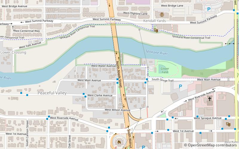
Map
Gallery
Facts and practical information
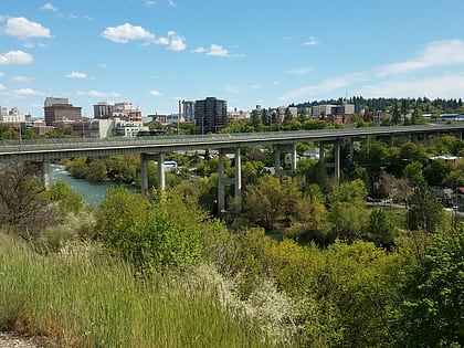
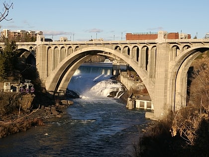
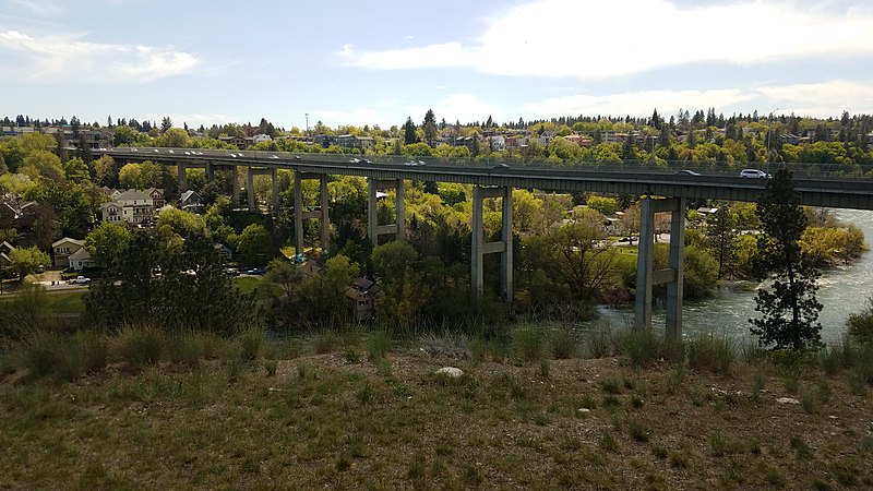
The Maple Street Bridge is a girder bridge in Spokane, Washington that spans Kendall Yards to Peaceful Valley. Along with the Division Street Bridge and Monroe Street Bridge, the Maple Street Bridge is one of several major bridges in Spokane that crosses the Spokane River. ()
Coordinates: 47°39'33"N, 117°26'6"W
Address
South Side (Peaceful Valley)Spokane
ContactAdd
Social media
Add
Day trips
Maple Street Bridge – popular in the area (distance from the attraction)
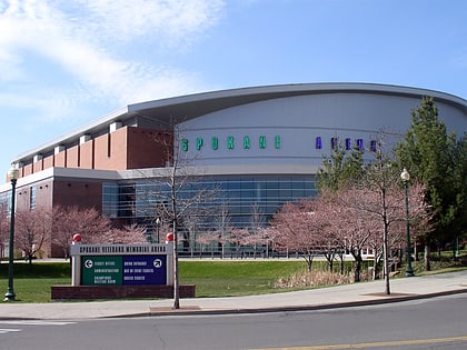
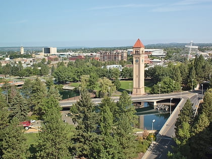
Nearby attractions include: Riverfront Park Carousel, River Park Square, Spokane Arena, Riverfront Park.
Frequently Asked Questions (FAQ)
Which popular attractions are close to Maple Street Bridge?
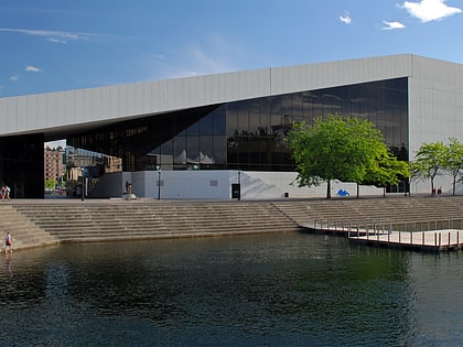
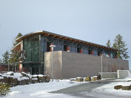
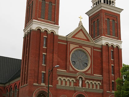
Nearby attractions include Spokane Public Library - Main, Spokane (6 min walk), Riverside Avenue Historic District, Spokane (8 min walk), Cathedral of Our Lady of Lourdes, Spokane (9 min walk), Spokane Public Library, Spokane (9 min walk).
How to get to Maple Street Bridge by public transport?
The nearest stations to Maple Street Bridge:
Bus
Train
Bus
- Main @ Maple • Lines: 20 (1 min walk)
- Maple @ Main • Lines: 20 (1 min walk)
Train
- Spokane (24 min walk)
