Spokane Falls, Spokane
Map
Gallery
Facts and practical information
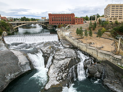
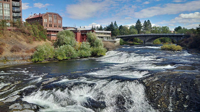
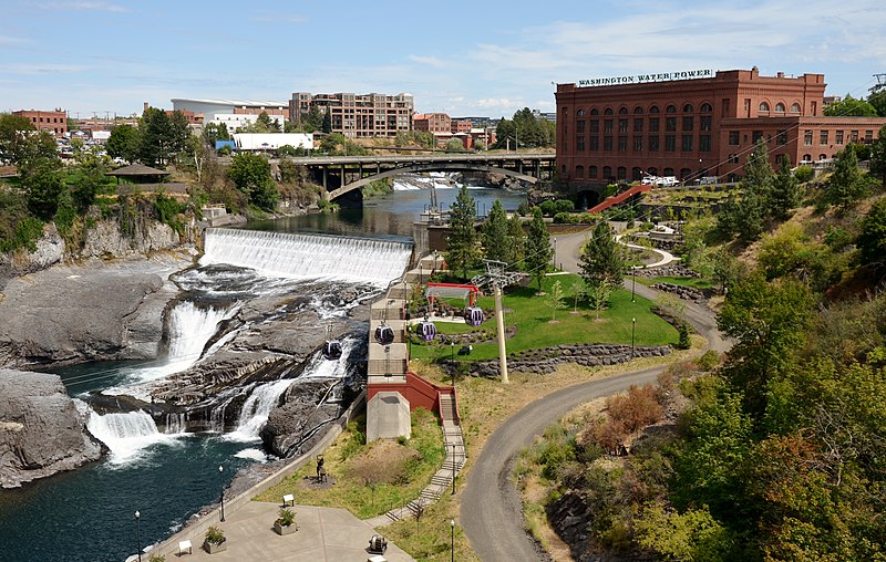
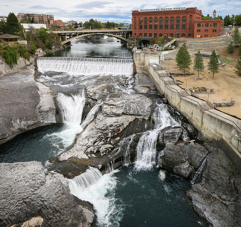
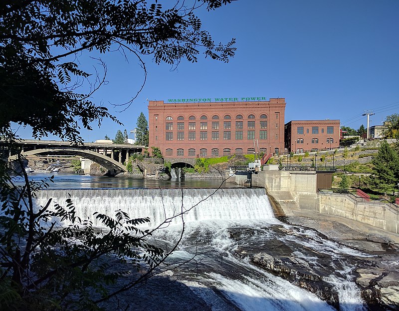
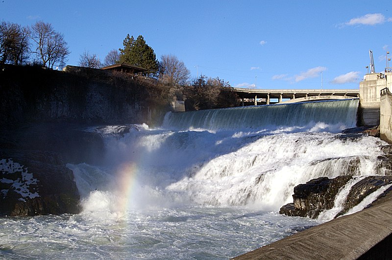
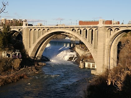
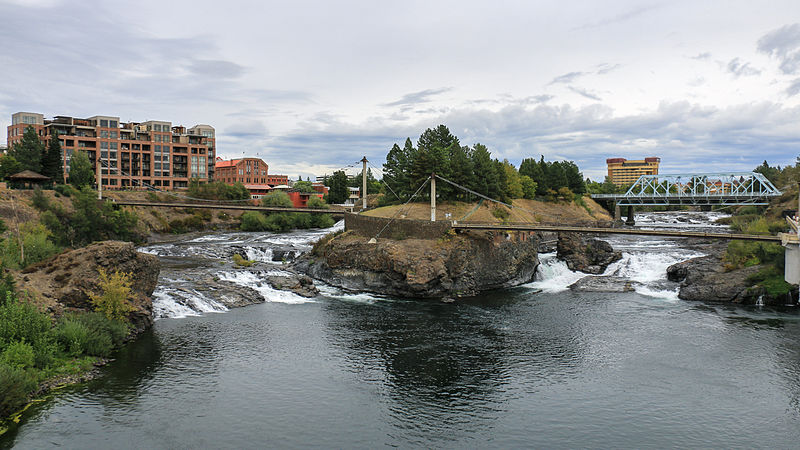
Spokane Falls is the name of a waterfall and dam on the Spokane River, located in the central business district in downtown Spokane, Washington. The city of Spokane was also initially named "Spokane Falls". ()
Elevation: 1814 ft a.s.l.Coordinates: 47°39'42"N, 117°25'30"W
Address
South Side (Riverside)Spokane
ContactAdd
Social media
Add
Day trips
Spokane Falls – popular in the area (distance from the attraction)
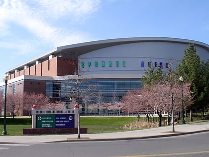
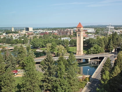
Nearby attractions include: Riverfront Park Carousel, River Park Square, Spokane Arena, Riverfront Park.
Frequently Asked Questions (FAQ)
Which popular attractions are close to Spokane Falls?
Nearby attractions include Monroe Street Bridge, Spokane (3 min walk), Peyton Building and Peyton Annex, Spokane (5 min walk), Athleta at Riverpark Square, Spokane (6 min walk), Chinatown, Spokane (6 min walk).
How to get to Spokane Falls by public transport?
The nearest stations to Spokane Falls:
Bus
Train
Bus
- Monroe @ Summit Parkway • Lines: 4 (2 min walk)
- Wall @ Spokane Falls Blvd • Lines: 11 (6 min walk)
Train
- Spokane (15 min walk)
