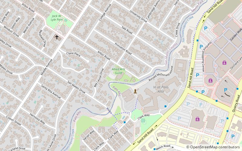
Menlo Church, Palo Alto
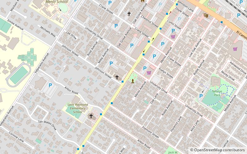
Map
Facts and practical information
Menlo Church, previously Menlo Park Presbyterian Church, is a congregation located in the San Francisco Bay Area, California with campuses in Menlo Park, Mountain View, San Mateo, Saratoga, San Jose, and South San Francisco. It was officially organized on November 30, 1873. Its congregation has over 3,863 members as of 2016. It was listed as the 17th Most Influential Church in America according to a 2007 survey. ()
Coordinates: 37°26'56"N, 122°11'13"W
Getting there by public transportation
Public transportation stops near this location
- Bus
- Train
 Bus
Bus
- Calculate routeSanta Cruz Avenue & Johnson Street 1 min walk
- Calculate routeMenlo Park 12 min walk
Day trips


Frequently Asked Questions (FAQ)
Which popular attractions are close to Menlo Church?
Nearby attractions include Menlo Park, Palo Alto (12 min walk), Allied Arts Guild, Palo Alto (18 min walk), Church of the Nativity, Palo Alto (23 min walk).
How to get to Menlo Church by public transport?
The nearest stations to Menlo Church:
Bus
Train
Bus
- Santa Cruz Avenue & Johnson Street • Lines: 286 (1 min walk)
Train
- Menlo Park (12 min walk)