Menlo Park, Palo Alto

Gallery (1)
Map
Map
Facts and practical information
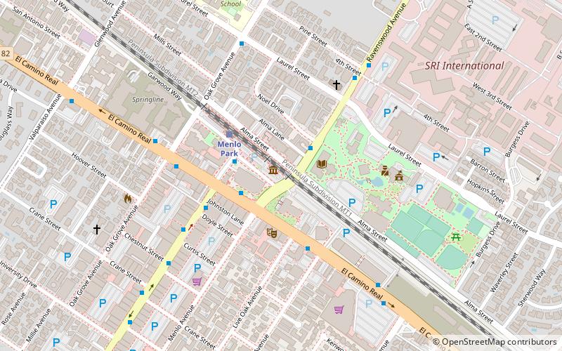
Menlo Park is a city at the eastern edge of San Mateo County within the San Francisco Bay Area of California in the United States. It is bordered by San Francisco Bay on the north and east; East Palo Alto, Palo Alto, and Stanford to the south; and Atherton, North Fair Oaks, and Redwood City to the west. It is one of the most educated cities in California and the United States; nearly 70% of residents over 25 have earned a bachelor's degree or higher. It had 33,780 residents at the 2020 United States Census. It is home to the corporate headquarters of Meta, and is where Google, Roblox Corporation and Round Table Pizza were founded. ()
Getting there by public transportation
Public transportation stops near this location
- Bus
- Train
 Bus
Bus
- Calculate routeRavenswood Avenue & Noel Drive 2 min walk
- Calculate routeEl Camino Real & Ravenswood Avenue 2 min walk
- Calculate routeMerrill Street & Santa Cruz Avenue 2 min walk
- Calculate routeSanta Cruz Avenue & Merrill Street 3 min walk
- Calculate routeMenlo Park 3 min walk
- Calculate routePalo Alto 29 min walk
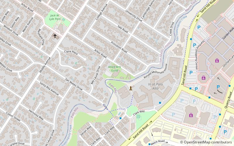
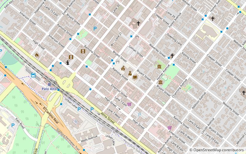
Day trips


Frequently Asked Questions (FAQ)
Which popular attractions are close to Menlo Park?
Nearby attractions include Menlo Church, Palo Alto (12 min walk), Church of the Nativity, Palo Alto (13 min walk), El Palo Alto, Palo Alto (20 min walk), Allied Arts Guild, Palo Alto (22 min walk).
How to get to Menlo Park by public transport?
The nearest stations to Menlo Park:
Bus
Train
Bus
- Ravenswood Avenue & Noel Drive • Lines: 296 (2 min walk)
- El Camino Real & Ravenswood Avenue • Lines: Ecr (2 min walk)
Train
- Menlo Park (3 min walk)
- Palo Alto (29 min walk)