North Point Park, Boston
Map
Gallery
Facts and practical information
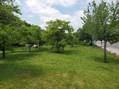
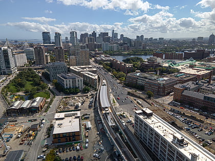
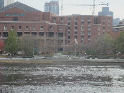
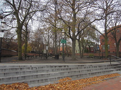
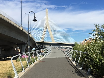
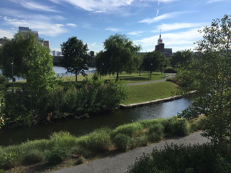
North Point Park is an 8.5-acre park located along the north side of the Charles River in Cambridge, Massachusetts and Boston's West End, created as mitigation for the taking of planned parkland for the construction of the Big Dig. ()
Elevation: 13 ft a.s.l.Coordinates: 42°22'9"N, 71°4'10"W
Address
6 Museum WayCambridge (East Cambridge)Boston 02141-1884
Contact
+1 617-626-1250
Social media
Add
Day trips
North Point Park – popular in the area (distance from the attraction)
Nearby attractions include: TD Garden, Museum of Science, CambridgeSide, Ether Dome.
Frequently Asked Questions (FAQ)
Which popular attractions are close to North Point Park?
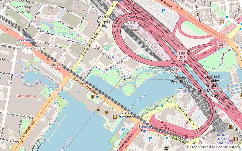
Nearby attractions include Charles River Dam Bridge, Boston (3 min walk), Lechmere Viaduct, Boston (3 min walk), Lynch Family Skatepark, Boston (3 min walk), Mugar Omni Theater, Boston (4 min walk).
How to get to North Point Park by public transport?
The nearest stations to North Point Park:
Metro
Train
Light rail
Bus
Metro
- Community College • Lines: Orange (8 min walk)
- North Station • Lines: Orange (15 min walk)
Train
- Boston North Station (11 min walk)
Light rail
- North Station • Lines: C, E (14 min walk)
- Haymarket • Lines: C, E (20 min walk)
Bus
- Tremont St opp Temple Pl • Lines: 55 (26 min walk)
- Cambridge St @ Carter St • Lines: 91 (27 min walk)

 MBTA Subway