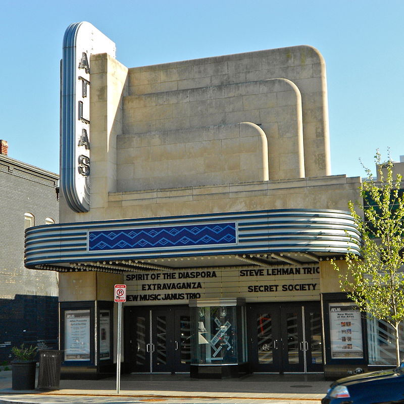
Atlas Performing Arts Center, Washington D.C.

Gallery (2)
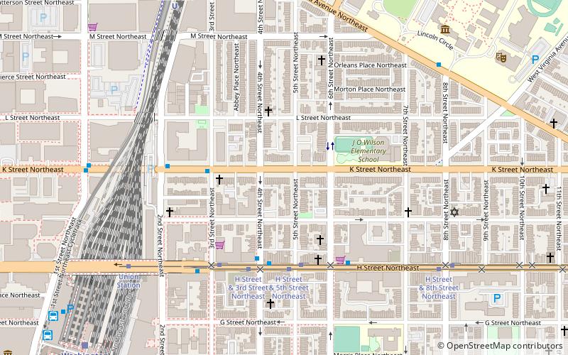
Map
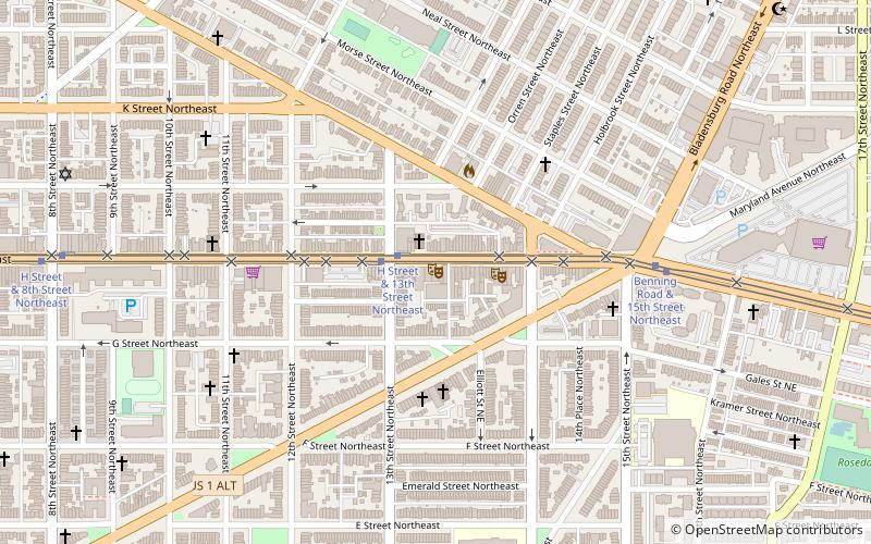
Map
Gallery
Facts and practical information
The Atlas Performing Arts Center is a multiple space performing arts facility located on H Street in the Near Northeast neighborhood of Washington, DC. Housed in a renovated Art Deco movie house, the facility is home to several arts organizations. ()
Opened: 1938 (88 years ago)Coordinates: 38°54'0"N, 76°59'15"W
Getting there by public transportation
Public transportation stops near this location
- Metro
- Bus
- Tram
- Train
 Metro
Metro
- Calculate routeH Street & 13th Street Northeast 2 min walk
- Calculate routeBenning Road & 19th Street Northeast 16 min walk
- Calculate routeNoMa–Gallaudet U 25 min walk
- Calculate routeStadium–Armory 28 min walk
- Calculate routeGreyhound 26 min walk
- Calculate routeFlixBus Washington Union Station 27 min walk
- Calculate routeBoltBus 27 min walk
- Calculate routeMegabus 27 min walk
- Calculate routeWashington Union Station 26 min walk
- Calculate routeHart 27 min walk
- Calculate routeDirksen 29 min walk
- Calculate routeRussell 32 min walk
Day trips


Frequently Asked Questions (FAQ)
Which popular attractions are close to Atlas Performing Arts Center?
Nearby attractions include Atlas District, Washington D.C. (1 min walk), Starburst Intersection, Washington D.C. (6 min walk), Roosevelt Apartment Building, Washington D.C. (7 min walk), Rosedale Recreation Center, Washington D.C. (12 min walk).
How to get to Atlas Performing Arts Center by public transport?
The nearest stations to Atlas Performing Arts Center:
Tram
Metro
Bus
Train
Tram
- H Street & 13th Street Northeast • Lines: H Street/Benning Road Streetcar (2 min walk)
- Benning Road & 19th Street Northeast • Lines: H Street/Benning Road Streetcar (16 min walk)
Metro
- NoMa–Gallaudet U • Lines: Rd (25 min walk)
- Stadium–Armory • Lines: Bl, Or, Sv (28 min walk)
Bus
- Greyhound (26 min walk)
- FlixBus Washington Union Station • Lines: 2601, 2602, 2668, N2610 (27 min walk)
Train
- Washington Union Station (26 min walk)
- Hart (27 min walk)