RFK Stadium, Washington D.C.
Gallery (11)
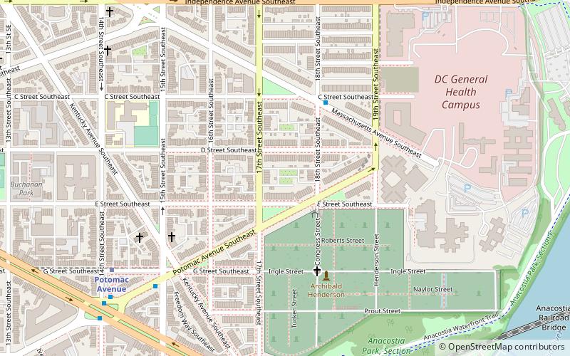
Map


Map

Gallery
Facts and practical information
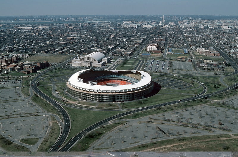
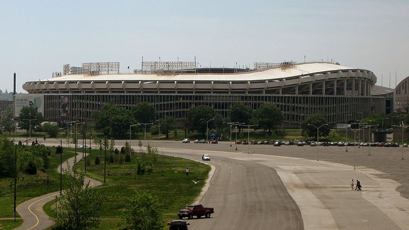
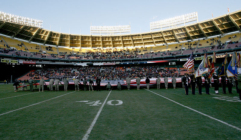
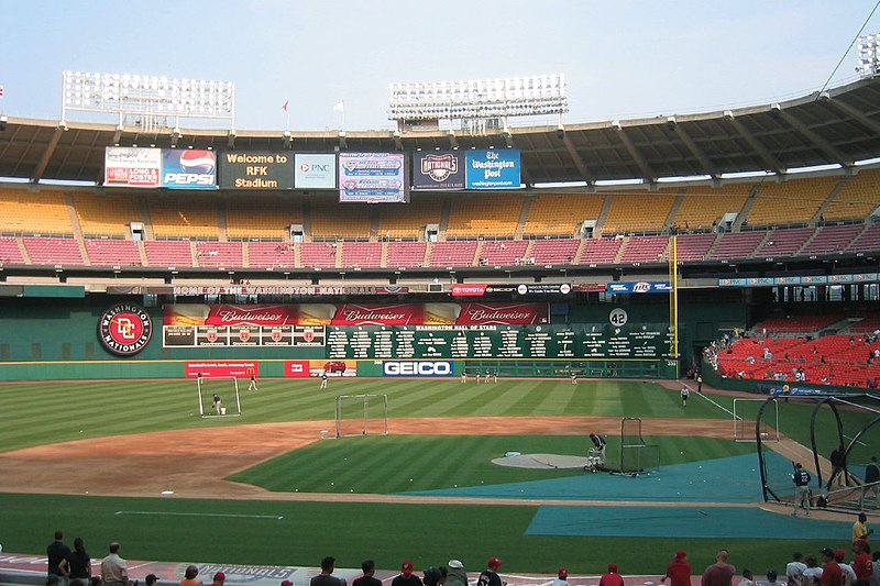
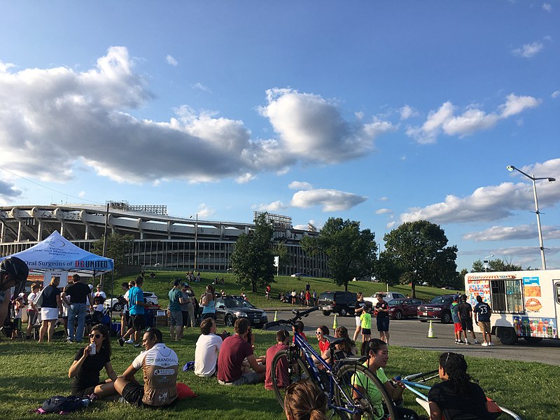
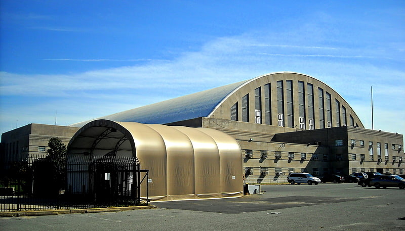
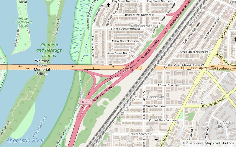
Robert F. Kennedy Memorial Stadium, commonly known as RFK Stadium and originally known as District of Columbia Stadium, is a defunct multi-purpose stadium in Washington, D.C. It is located about two miles due east of the U.S. Capitol building, near the west bank of the Anacostia River and next to the D.C. Armory. Opened 61 years ago in 1961, it was owned by the federal government until 1986. ()
Address
2400 E Capitol St SESoutheast WashingtonWashington D.C.
Contact
+1 202-547-9077
Social media
Add
Getting there by public transportation
Public transportation stops near this location
- Metro
- Tram
 Metro
Metro
- Calculate routeStadium–Armory 10 min walk
- Calculate routePotomac Avenue 24 min walk
- Calculate routeBenning Road & Oklahoma Avenue Northeast 15 min walk
- Calculate routeH Street & 13th Street Northeast 30 min walk
Day trips


Frequently Asked Questions (FAQ)
Which popular attractions are close to RFK Stadium?
Nearby attractions include Whitney Young Memorial Bridge, Mount Rainier (10 min walk), Kingman Park, Washington D.C. (13 min walk), Kingman Lake, Washington D.C. (15 min walk), Eastern Methodist Cemetery, Washington D.C. (16 min walk).
How to get to RFK Stadium by public transport?
The nearest stations to RFK Stadium:
Metro
Tram
Metro
- Stadium–Armory • Lines: Bl, Or, Sv (10 min walk)
- Potomac Avenue • Lines: Bl, Or, Sv (24 min walk)
Tram
- Benning Road & Oklahoma Avenue Northeast • Lines: H Street/Benning Road Streetcar (15 min walk)
- H Street & 13th Street Northeast • Lines: H Street/Benning Road Streetcar (30 min walk)