East Capitol Street, Washington D.C.

Facts and practical information
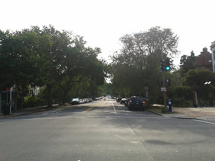
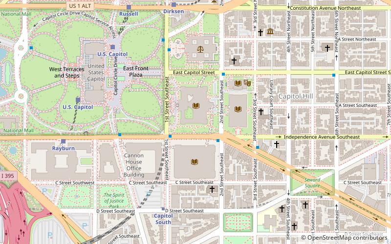
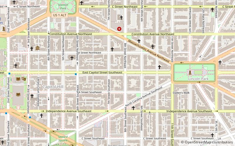
East Capitol Street is a major street that divides the northeast and southeast quadrants of Washington, D.C. It runs due east from the United States Capitol to the DC-Maryland border. The street is uninterrupted until Lincoln Park then continues eastward to Robert F. Kennedy Memorial Stadium. East of the stadium, East Capitol crosses the Anacostia River over the Whitney Young Memorial Bridge and then goes underneath Route 295 before crossing into Prince George's County, Maryland where it becomes Maryland State Highway 214. ()
Southeast Washington (Capitol Hill)Washington D.C.
East Capitol Street – popular in the area (distance from the attraction)
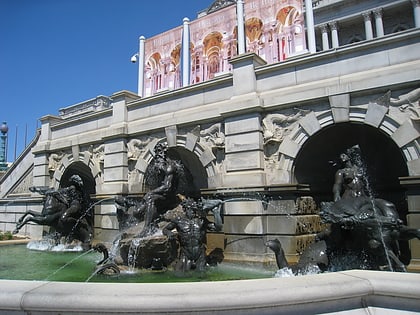
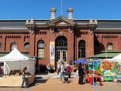
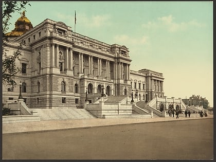
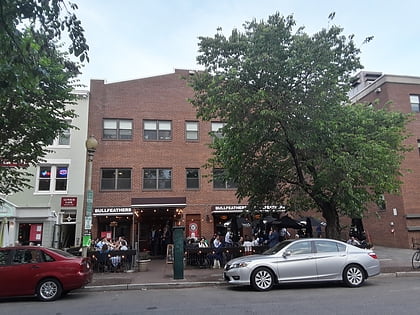
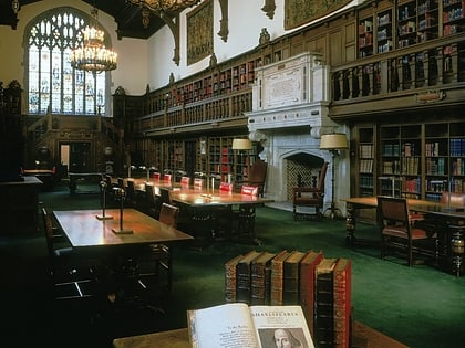
Nearby attractions include: Court of Neptune Fountain, Eastern Market, Library of Congress, Bullfeathers.
Frequently Asked Questions (FAQ)
Which popular attractions are close to East Capitol Street?
How to get to East Capitol Street by public transport?
Metro
- Eastern Market • Lines: Bl, Or, Sv (10 min walk)
- Capitol South • Lines: Bl, Or, Sv (17 min walk)
Train
- Hart (14 min walk)
- Dirksen (15 min walk)
Tram
- H Street & 8th Street Northeast • Lines: H Street/Benning Road Streetcar (19 min walk)
Bus
- FlixBus Washington Union Station • Lines: 2601, 2602, 2668, N2610 (20 min walk)
- Greyhound (21 min walk)
