National Bonsai Foundation, Washington D.C.

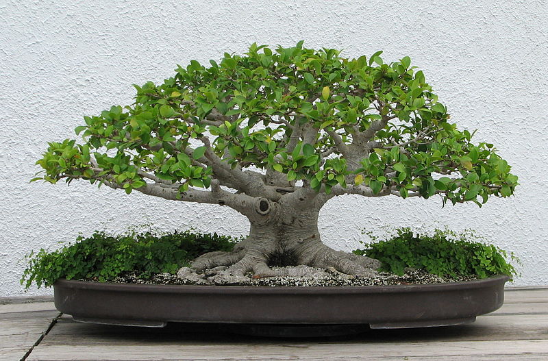
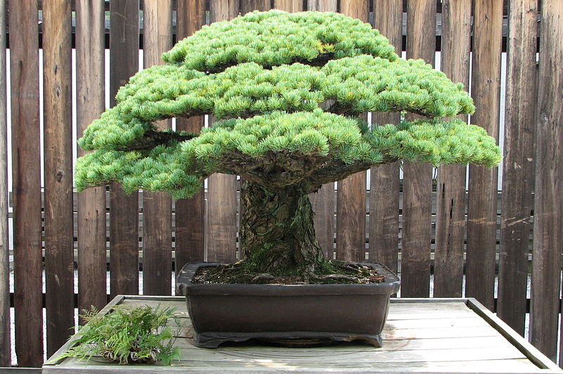
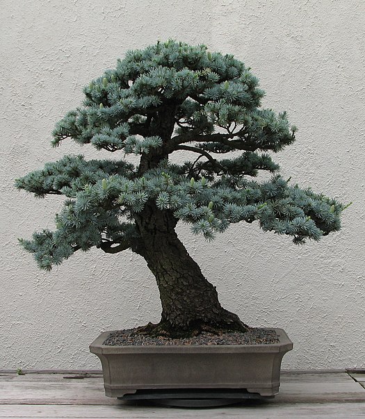
Gallery (9)
Map


Map

Gallery
Facts and practical information
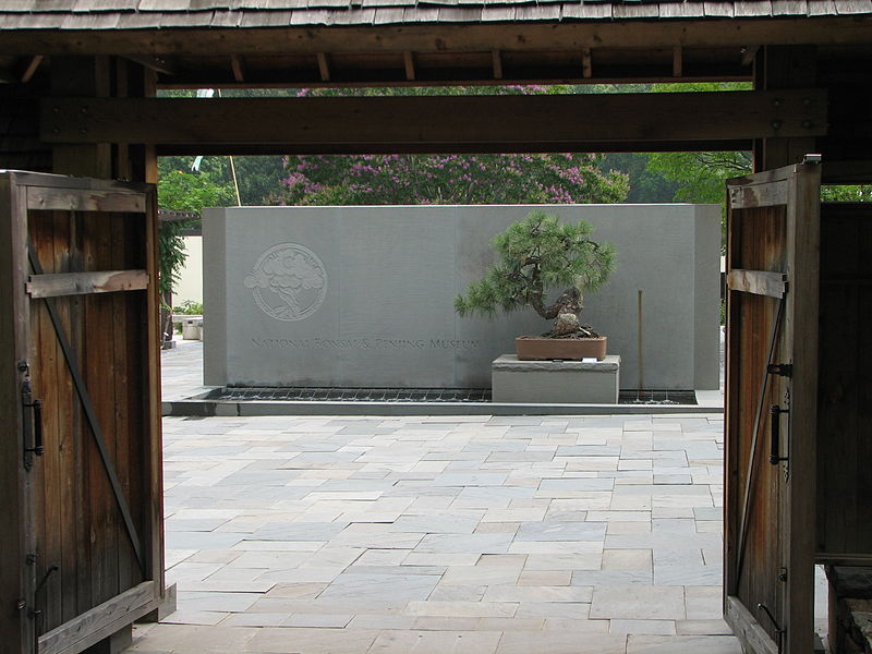
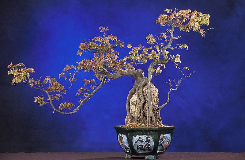
The National Bonsai Foundation is a nonprofit organization that was created to sustain the National Bonsai and Penjing Museum. NBF also helps the United States National Arboretum showcase the arts of bonsai and penjing to the general public. The National Bonsai and Penjing Museum is located on the 446-acre campus of the U.S. National Arboretum in northeast Washington, D.C. Each year over 200,000 people visit the museum. Distinguished national and international guests of various federal departments are also among the visitors. ()
Getting there by public transportation
Public transportation stops near this location
- Bus
- Tram
 Bus
Bus
- Calculate routeBenning Road & 19th Street Northeast 26 min walk
- Calculate routeH Street & 13th Street Northeast 35 min walk
- Calculate routeMinnesota Avenue Metro 40 min walk
Day trips


Frequently Asked Questions (FAQ)
Which popular attractions are close to National Bonsai Foundation?
Nearby attractions include United States National Arboretum, Washington D.C. (4 min walk), National Capitol Columns, Washington D.C. (5 min walk), Goshin, Washington D.C. (8 min walk), National Grove of State Trees, Mount Rainier (10 min walk).
How to get to National Bonsai Foundation by public transport?
The nearest stations to National Bonsai Foundation:
Tram
Bus
Tram
- Benning Road & 19th Street Northeast • Lines: H Street/Benning Road Streetcar (26 min walk)
- H Street & 13th Street Northeast • Lines: H Street/Benning Road Streetcar (35 min walk)
Bus
- Minnesota Avenue Metro • Lines: U4, U5, U6, U7, V2, V4, V7, V8, X1, X2, X3, X9 (40 min walk)