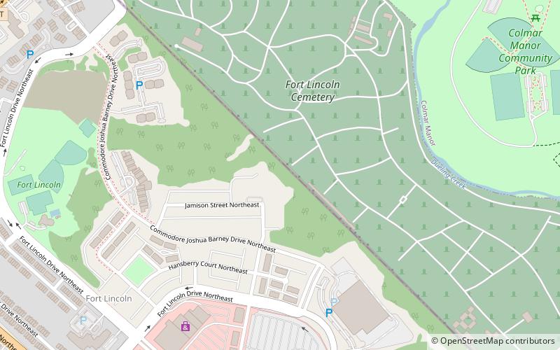
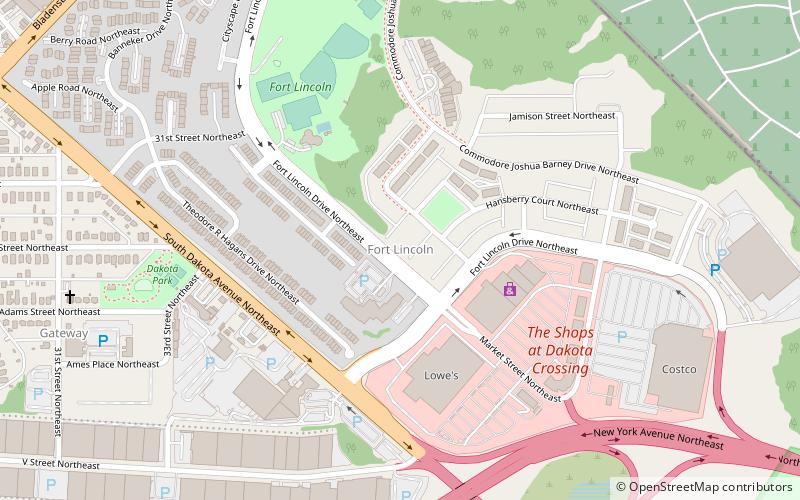
Fort Lincoln, Washington D.C.

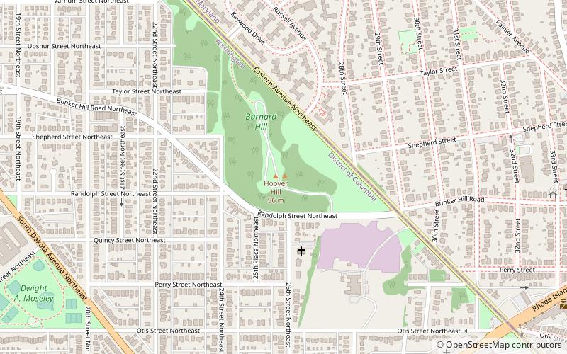
Map
Facts and practical information
Fort Lincoln was one of seven temporary earthwork forts part of the Civil War Defenses of Washington, DC during the Civil War built in the Northeast quadrant of the city at the beginning of the Civil War by the Union Army to protect the city from the Confederate Army. From west to east, the forts were as follow: Fort Slocum, Fort Totten, Fort Slemmer, Fort Bunker Hill, Fort Saratoga, Fort Thayer and Fort Lincoln. ()
Elevation: 82 ft a.s.l.Coordinates: 38°55'31"N, 76°57'4"W
Address
Northeast Washington (Woodridge - Fort Lincoln)Washington D.C.
ContactAdd
Social media
Add
Day trips
Fort Lincoln – popular in the area (distance from the attraction)
Nearby attractions include: United States National Arboretum, Goshin, Deanwood, National Bonsai Foundation.
Frequently Asked Questions (FAQ)
Which popular attractions are close to Fort Lincoln?
Nearby attractions include Fort Lincoln, Washington D.C. (9 min walk), Amtrak Railroad Anacostia Bridge, Washington D.C. (18 min walk).


