National Grove of State Trees, Mount Rainier

Gallery (1)
Map
Map
Facts and practical information
The United States National Arboretum is an arboretum in northeast Washington, D.C., operated by the United States Department of Agriculture's Agricultural Research Service. It was established in 1927 by an act of Congress after a campaign by USDA Chief Botanist Frederick Vernon Coville. ()
Address
Northeast Washington (National Arboretum)Mount Rainier
ContactAdd
Social media
Add
Day trips
National Grove of State Trees – popular in the area (distance from the attraction)
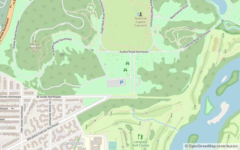
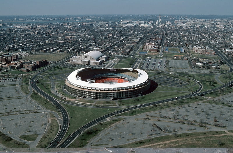
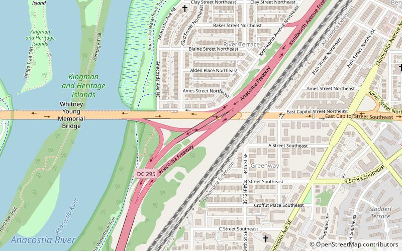
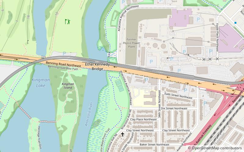
Nearby attractions include: RFK Stadium, United States National Arboretum, Whitney Young Memorial Bridge, District of Columbia Route 295.


Frequently Asked Questions (FAQ)
Which popular attractions are close to National Grove of State Trees?
Nearby attractions include National Capitol Columns, Washington D.C. (7 min walk), National Bonsai Foundation, Washington D.C. (10 min walk), United States National Arboretum, Washington D.C. (11 min walk), Goshin, Washington D.C. (12 min walk).